
As I have said, I have tons of images from our trip; now here is an overload that captures the essence of our incredible experiences. This is the addition to the LAPC /Your Journey 5-10 images, where you will find a small selection that highlights the beauty and adventure we encountered along the way.
Each gallery can be enlarged by a click, allowing you to immerse yourself in the vibrant details and stunning scenery; I might even be bold enough to recommend it as a visual diary that tells our story, evoking the memories tied to each moment.
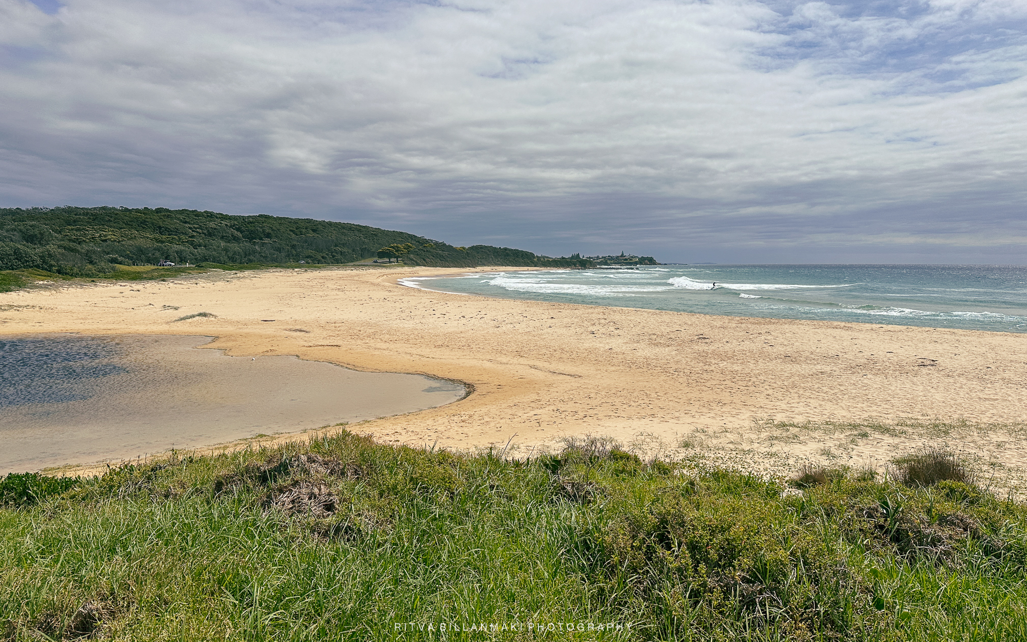
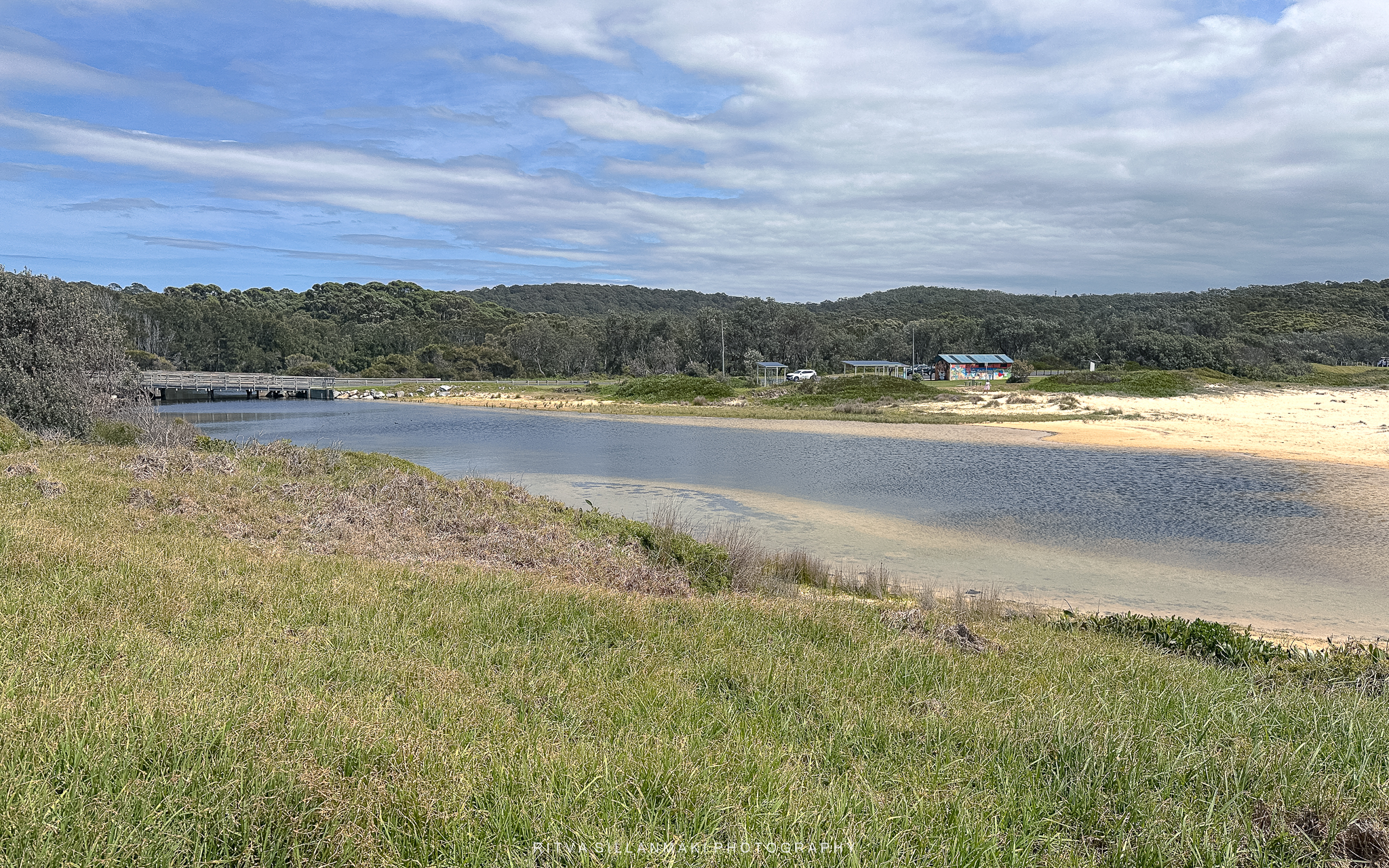
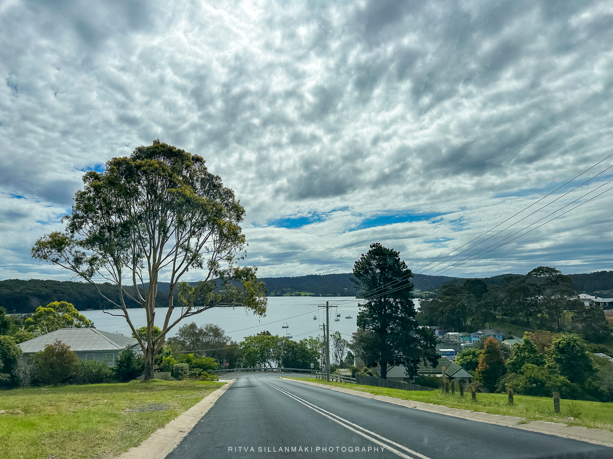
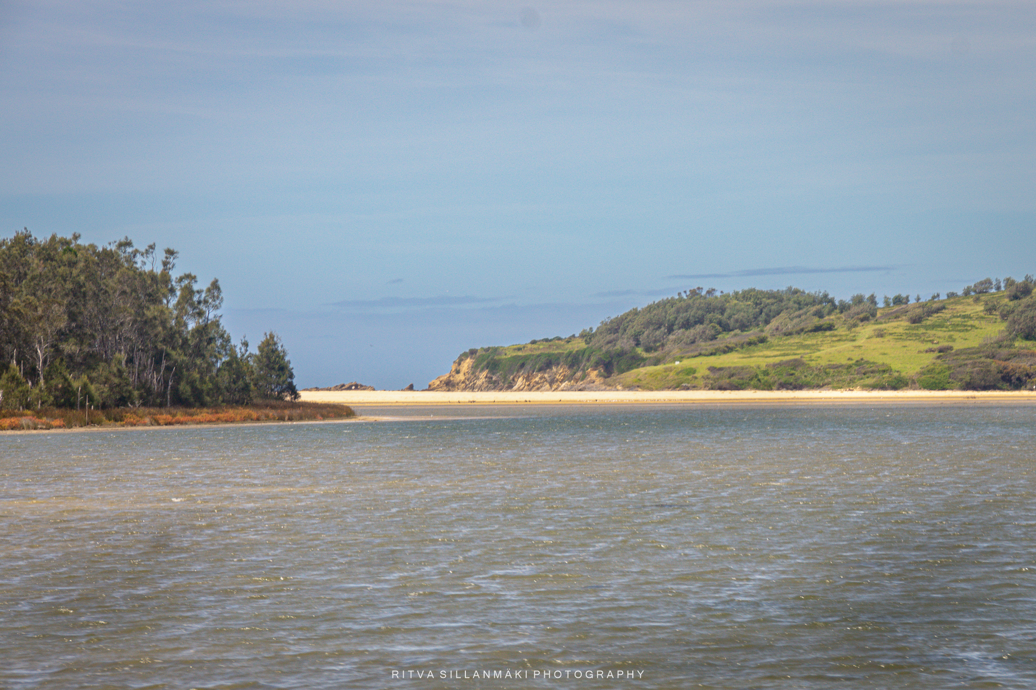
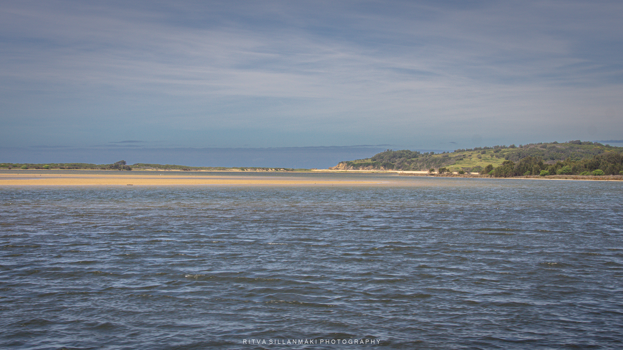
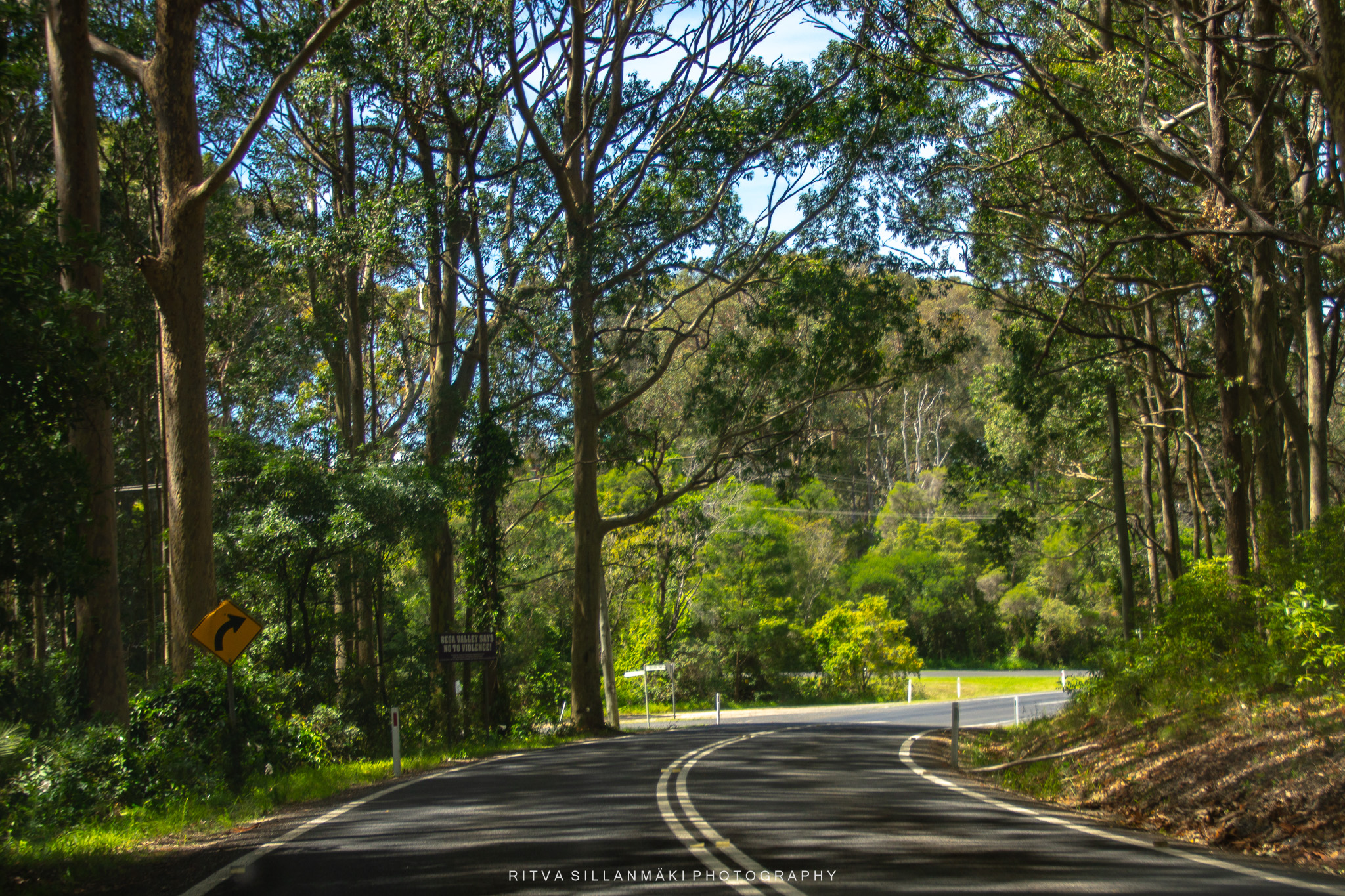
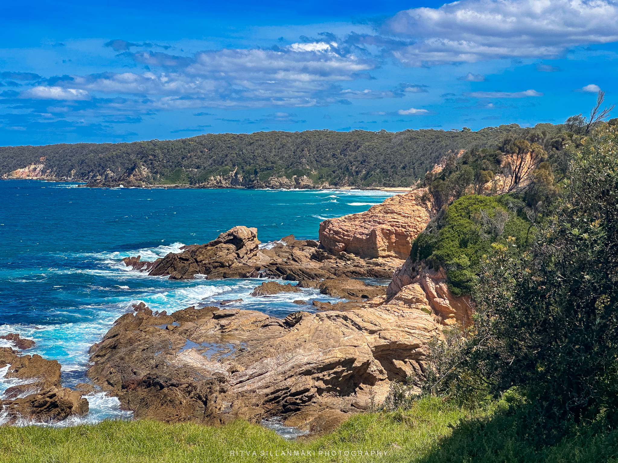
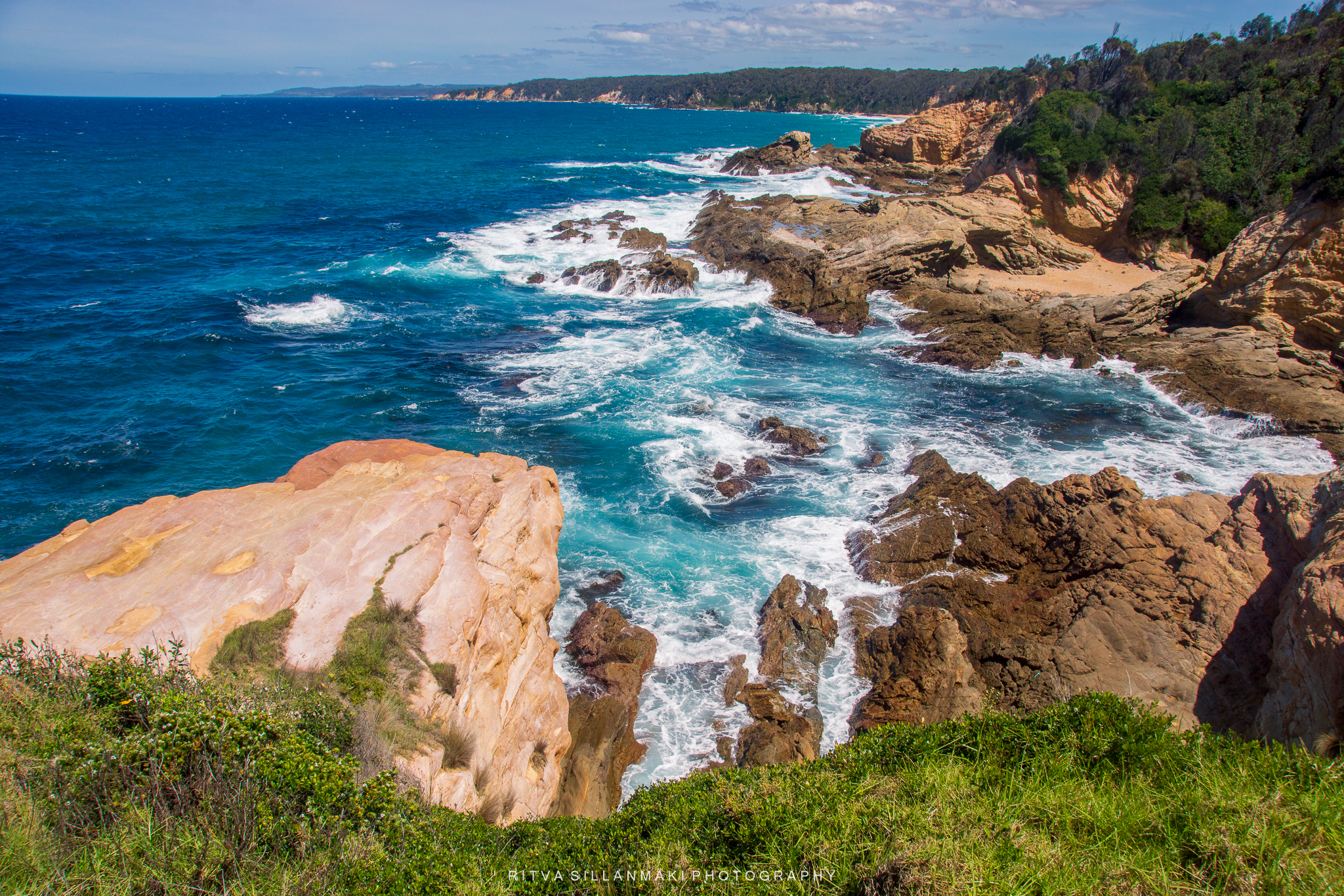
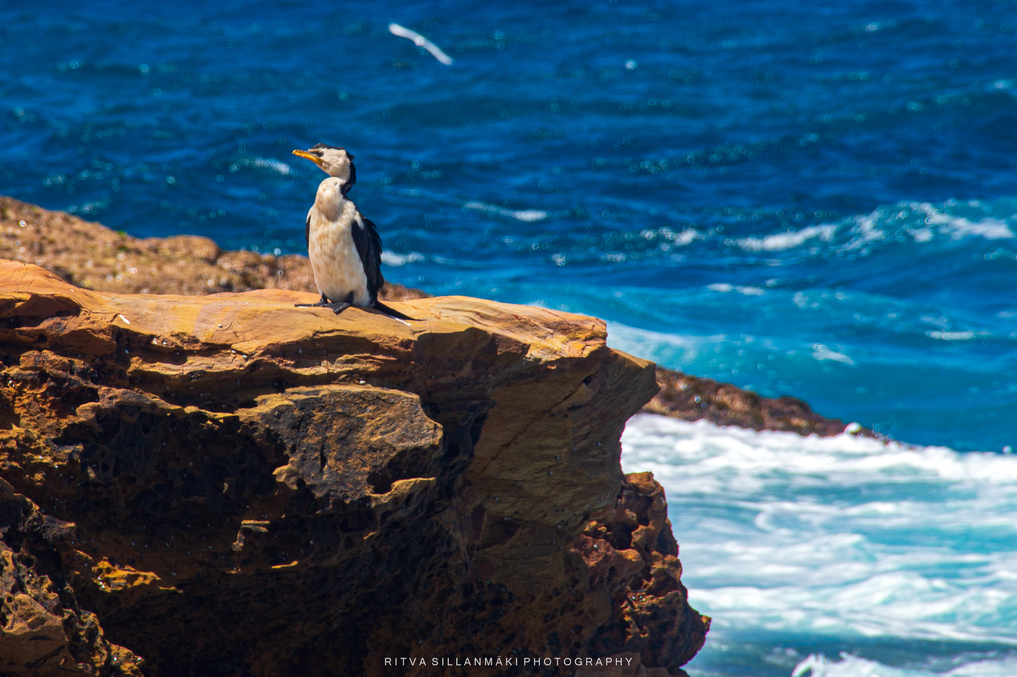
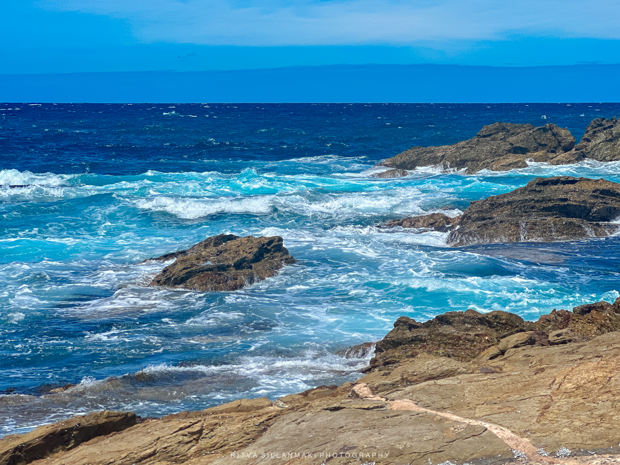
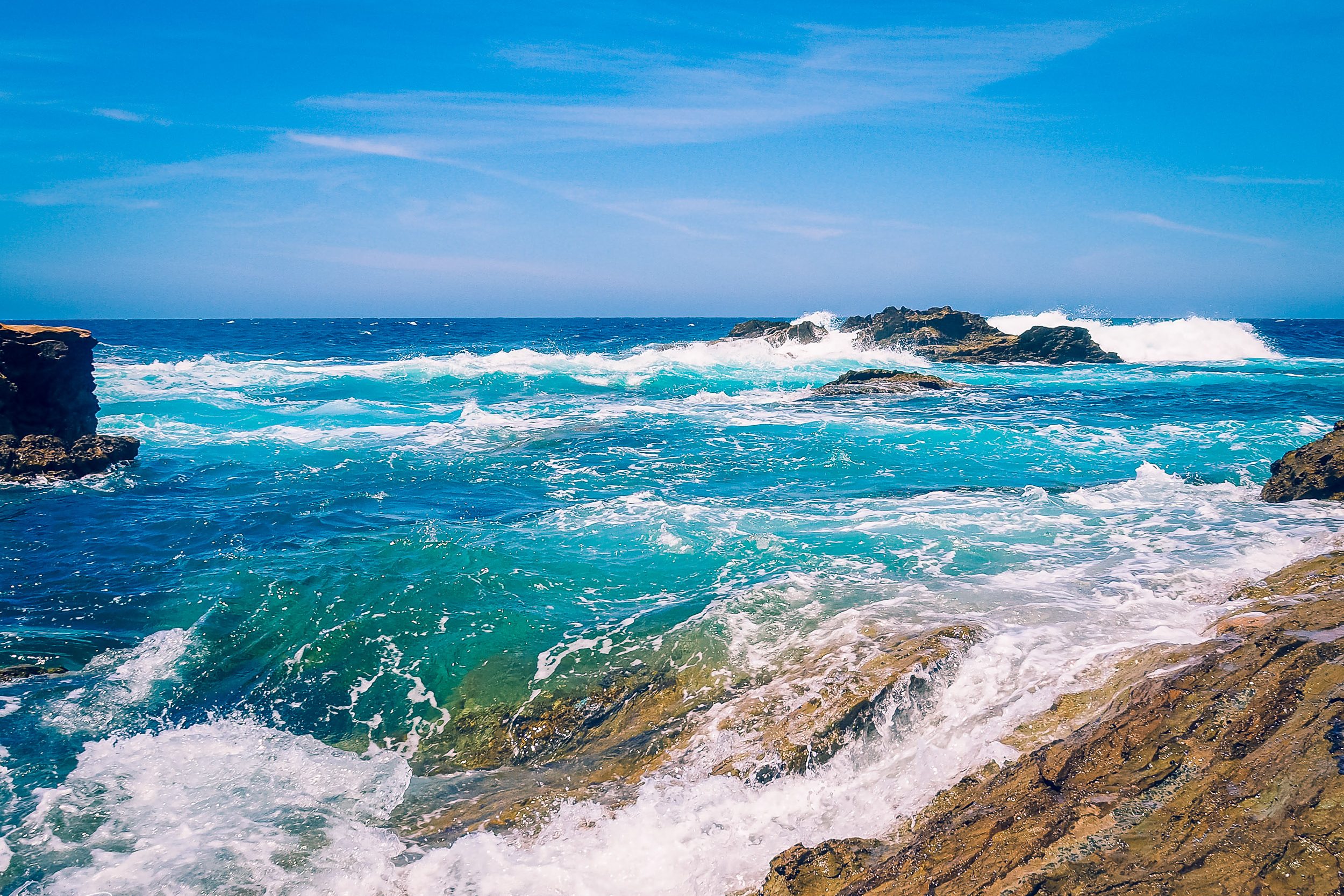
Our first stop was to look at the views at Kianga Beach on the southern coast of New South Wales, a tranquil 700-meter-long destination known, according to the South Coast Travel Guide, for its stunning views of the Tasman Sea and Montague Island. It is located near the town of Narooma.
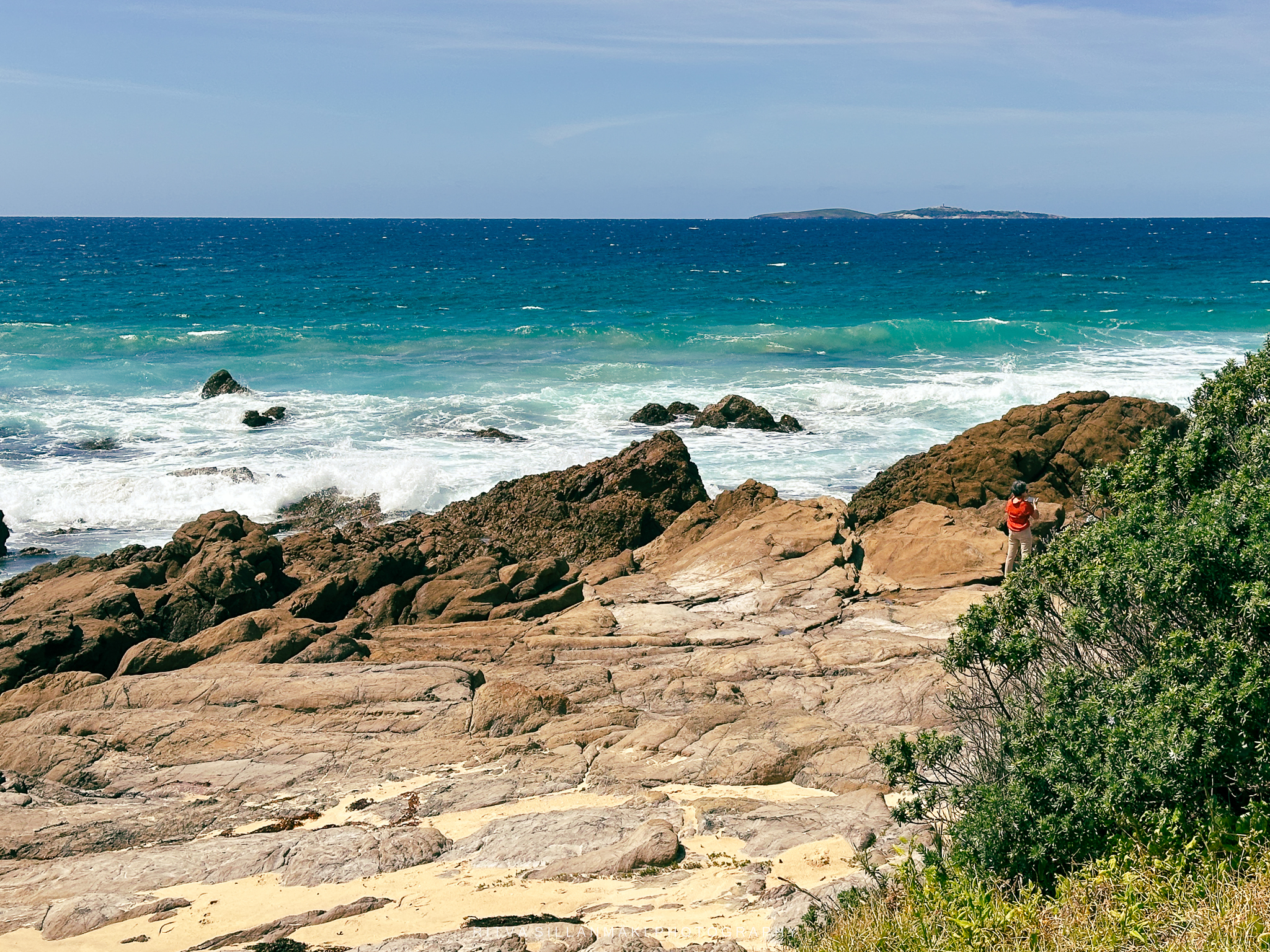
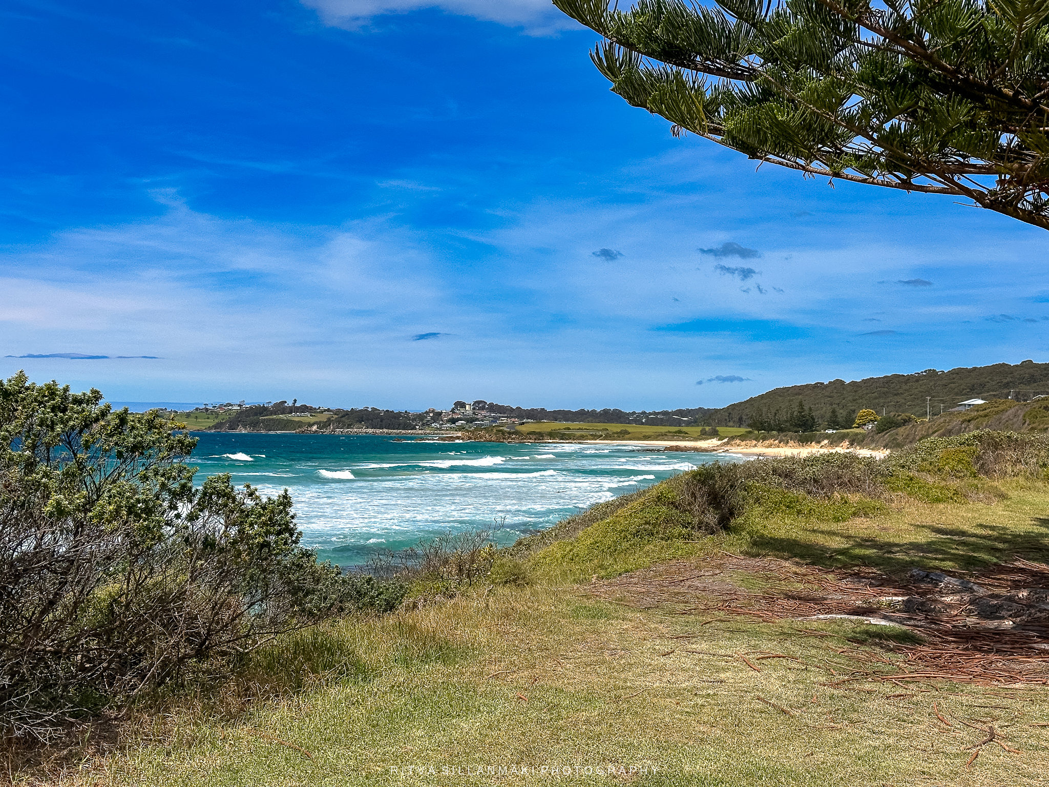
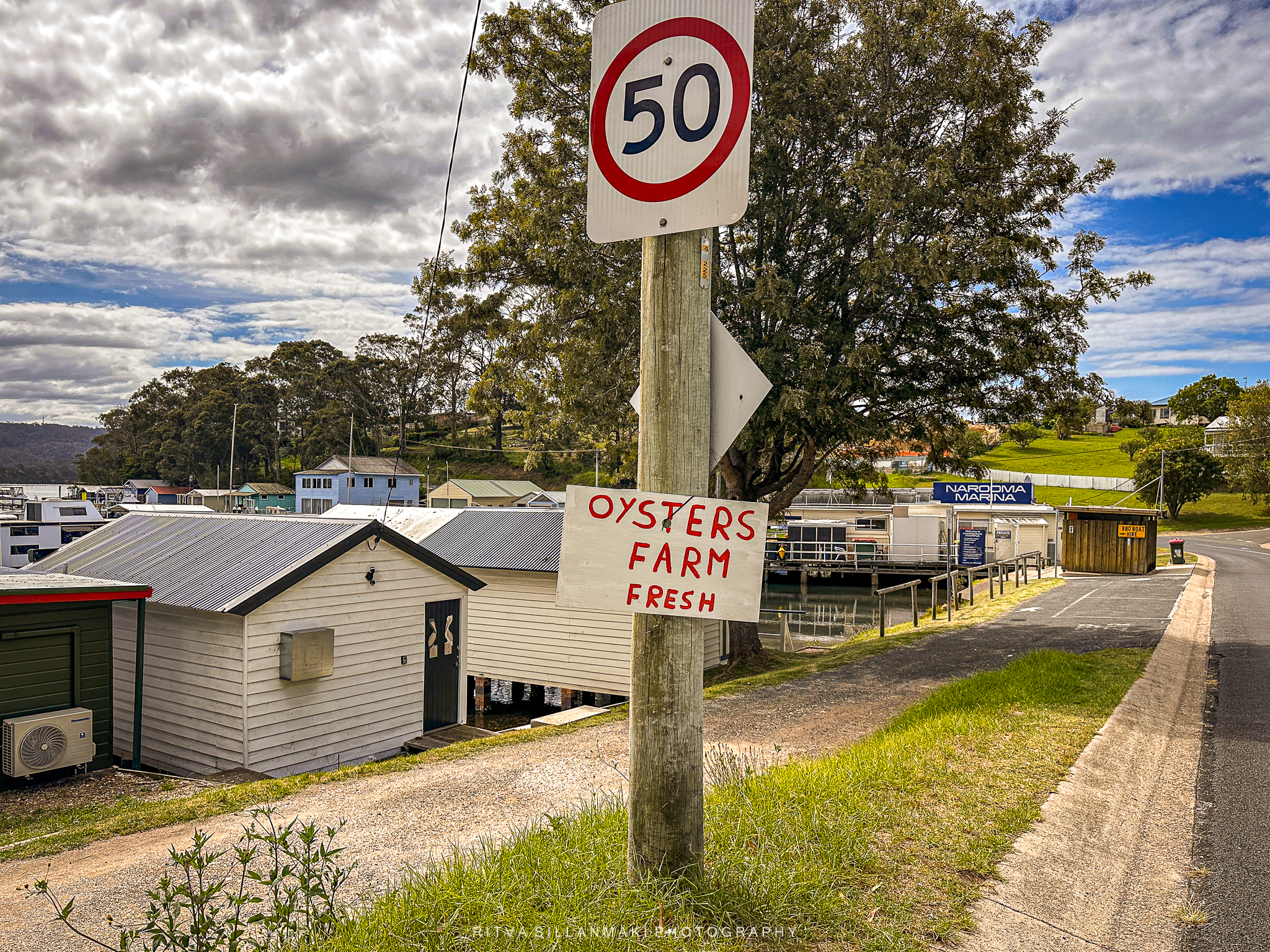
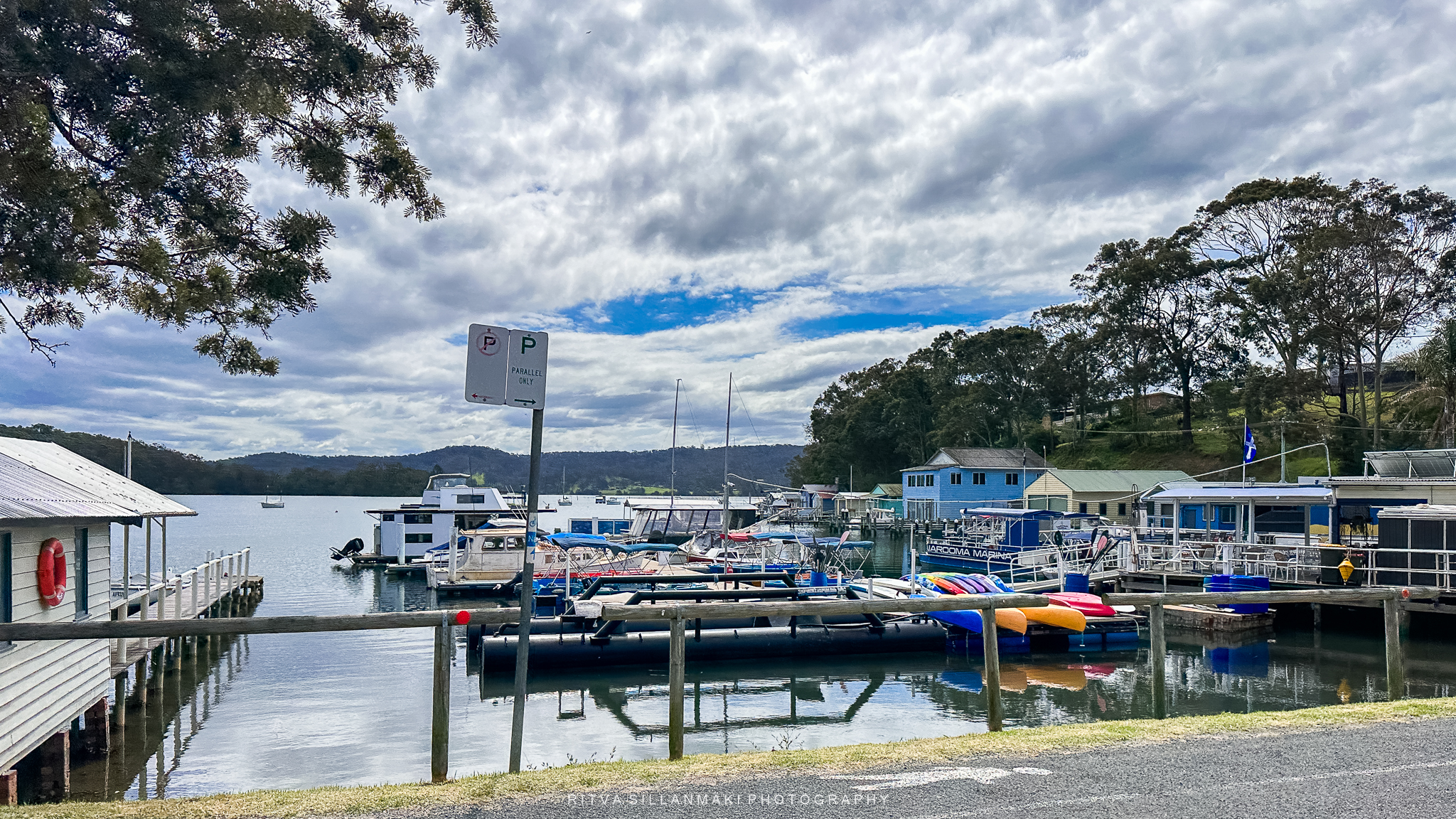
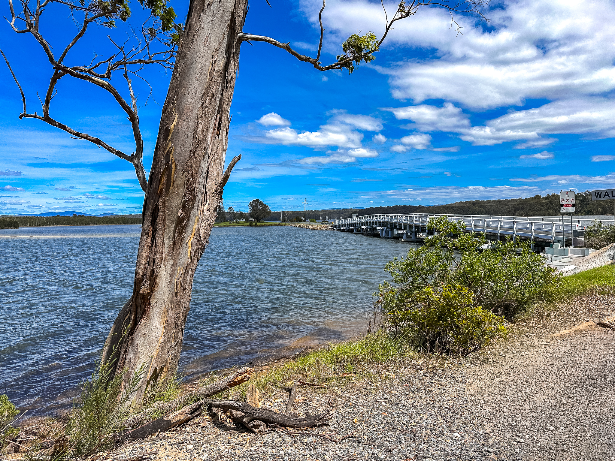
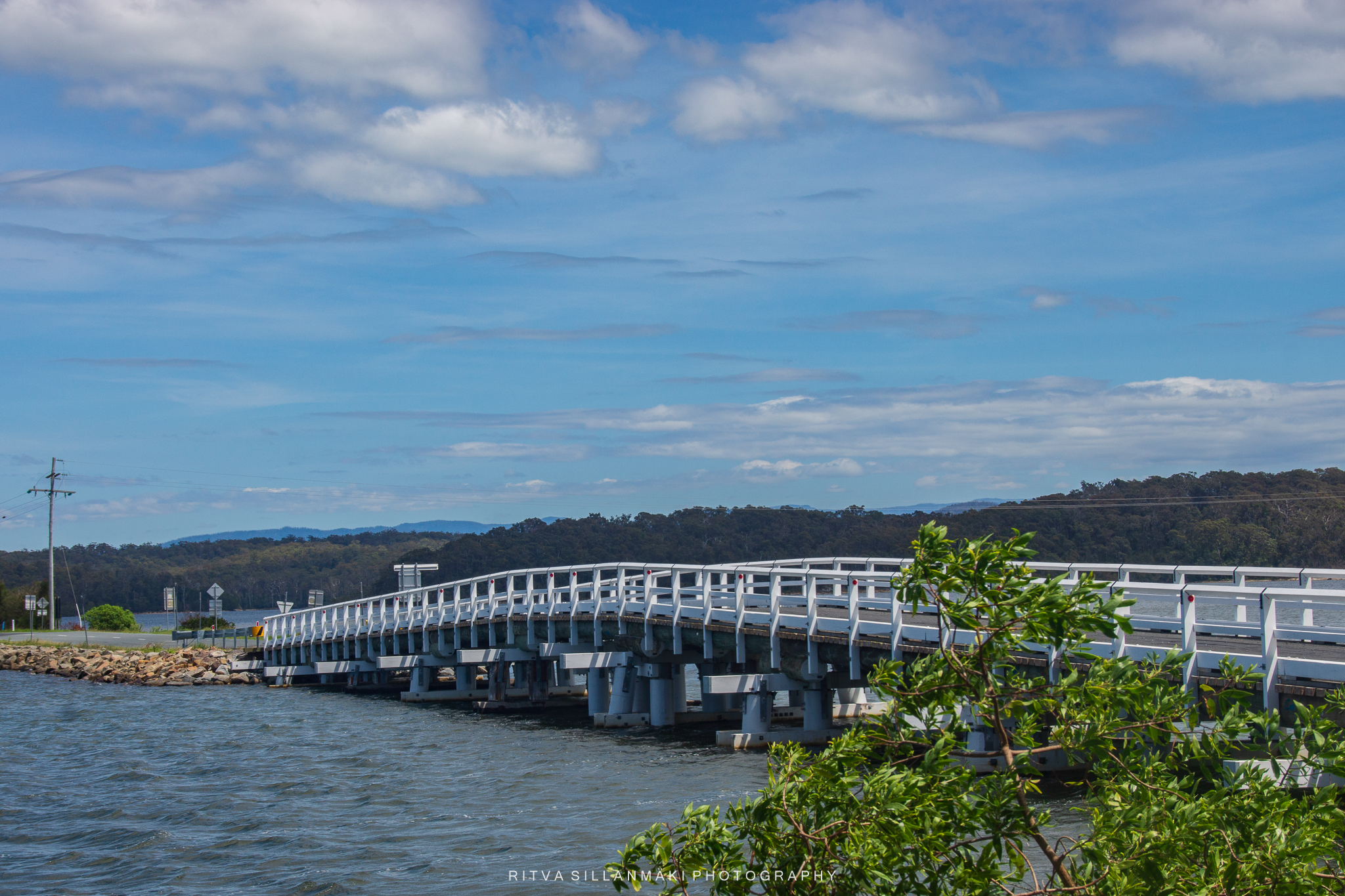
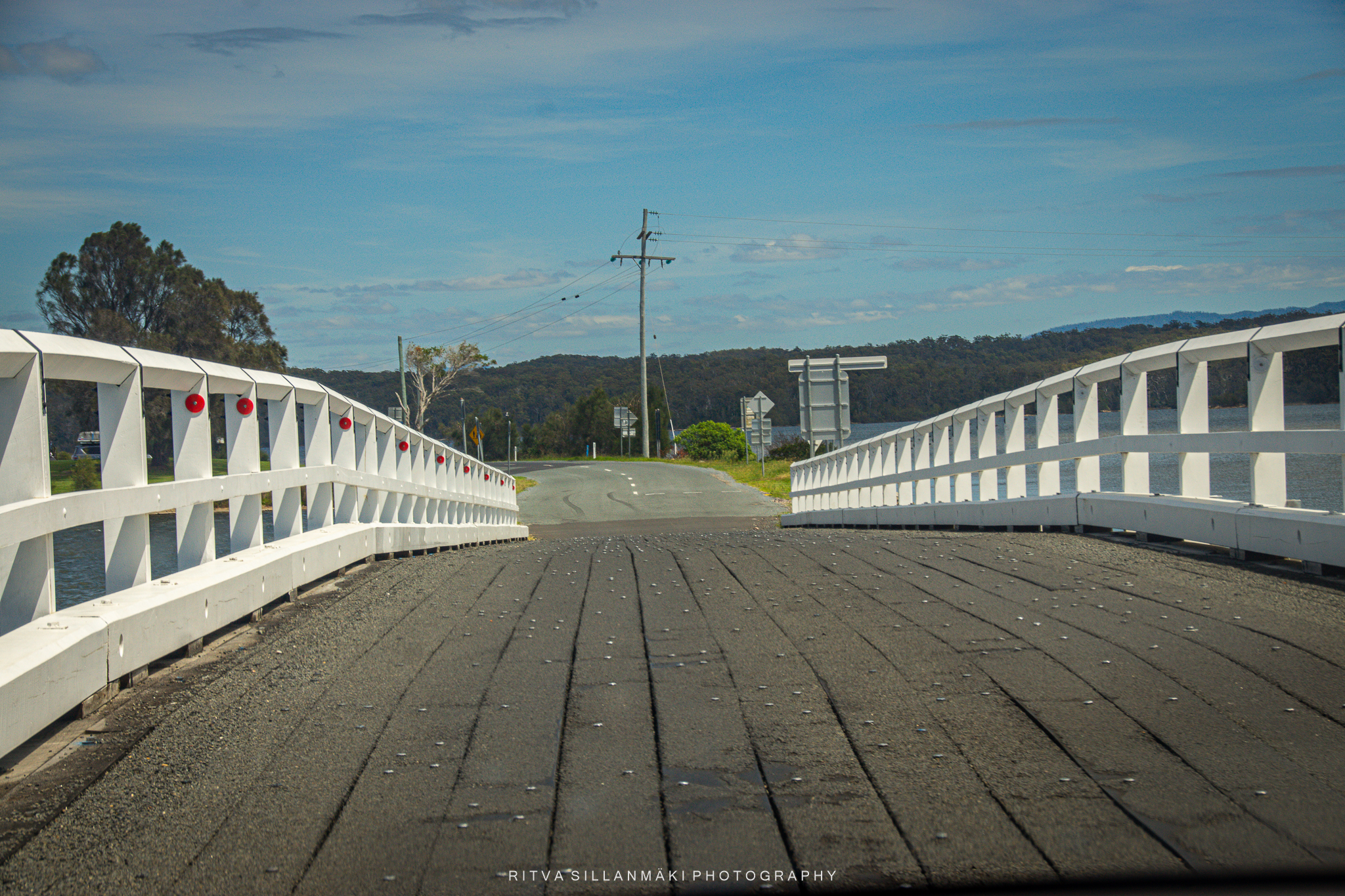
Narooma (/nəruːmə/) is a town in the NSW on the far south coast. The town is on the Princes Highway, which crosses the Wagonga Inlet to North Narooma. We just drove through it. The name Narooma is said to be derived from a word in the local Aboriginal language (one of the Yuin dialects) meaning “clear blue waters”.We didn’t end up stopping at Narooma at all, even though it had a nice little port with oyster shops.
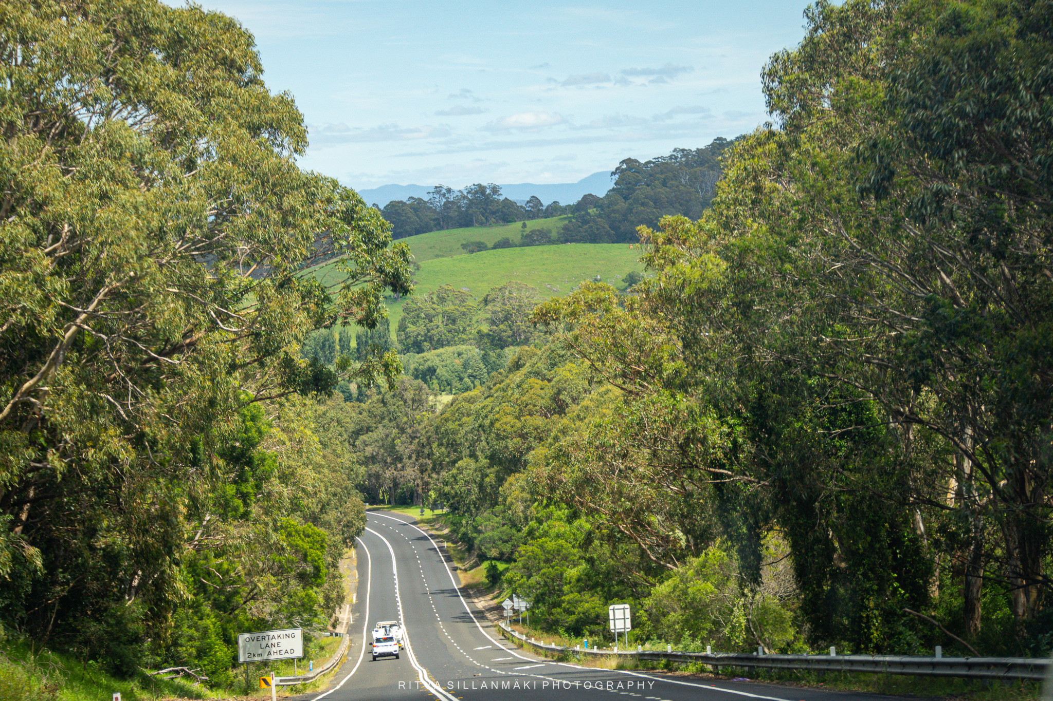
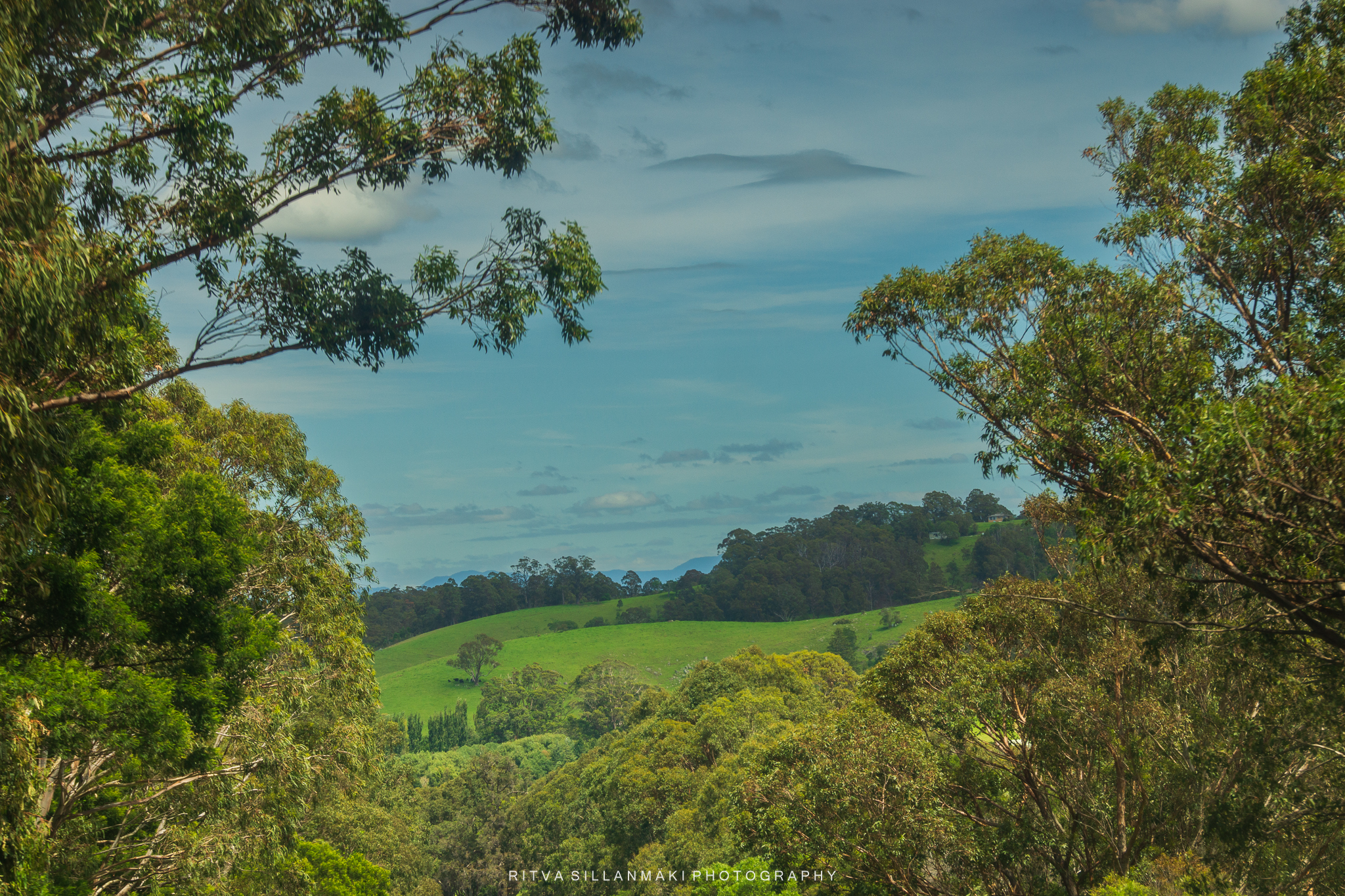
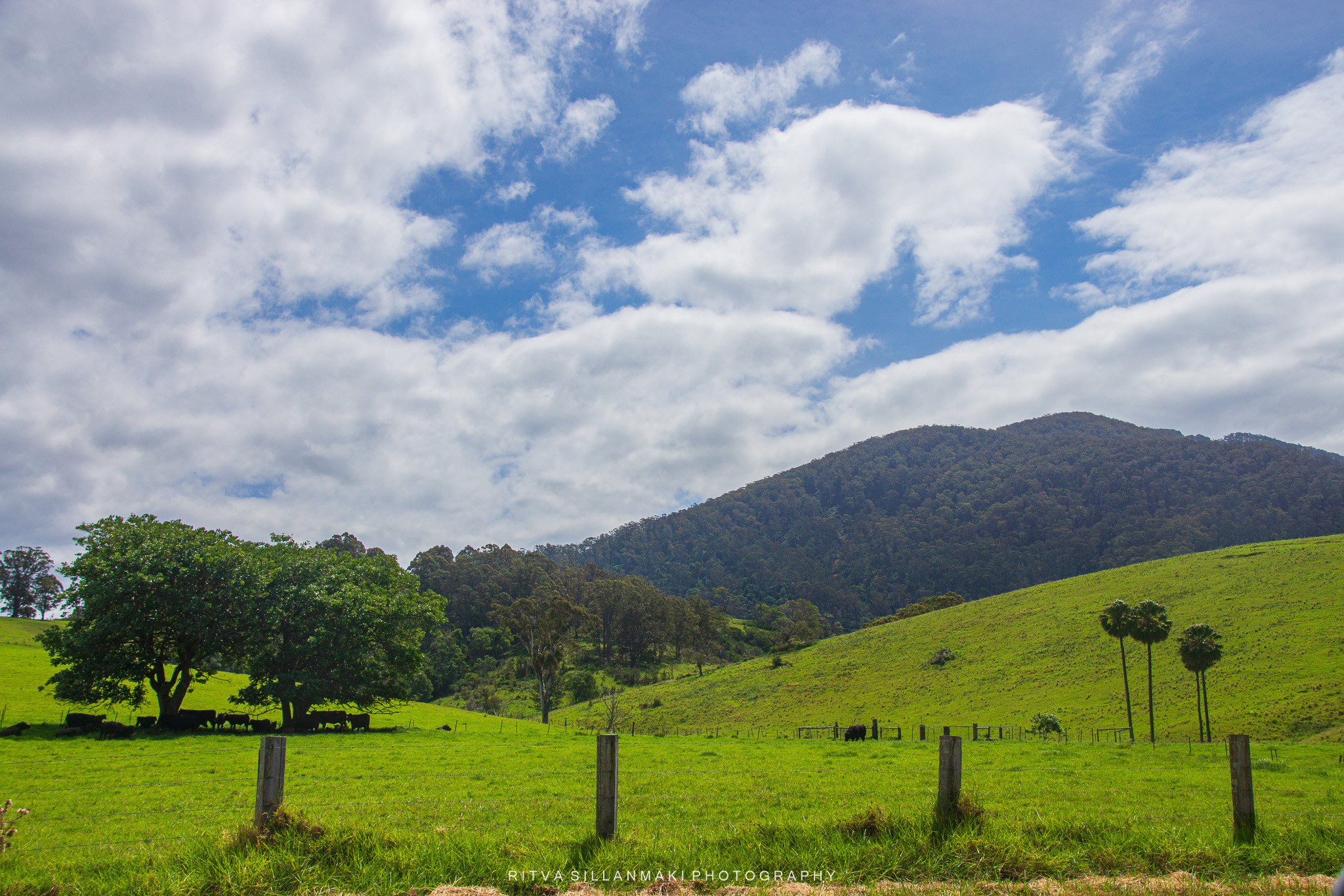
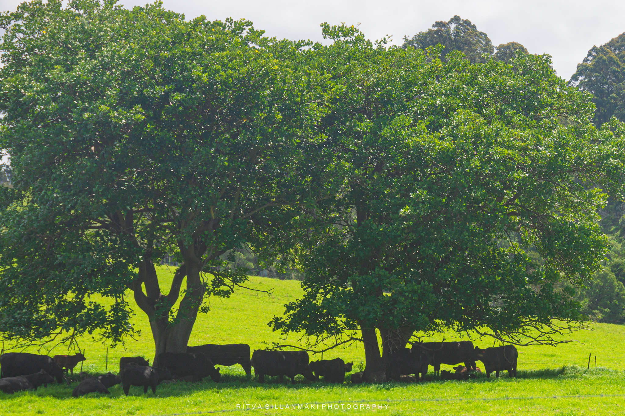
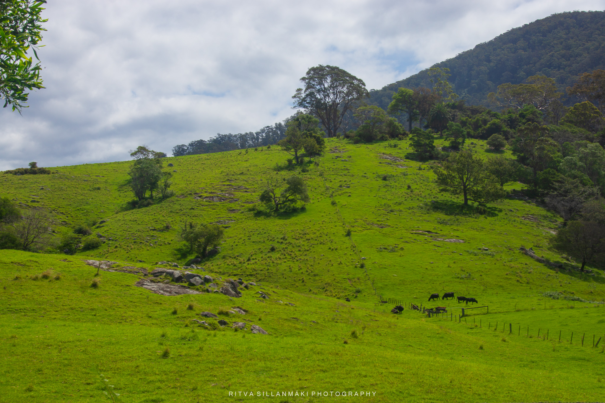
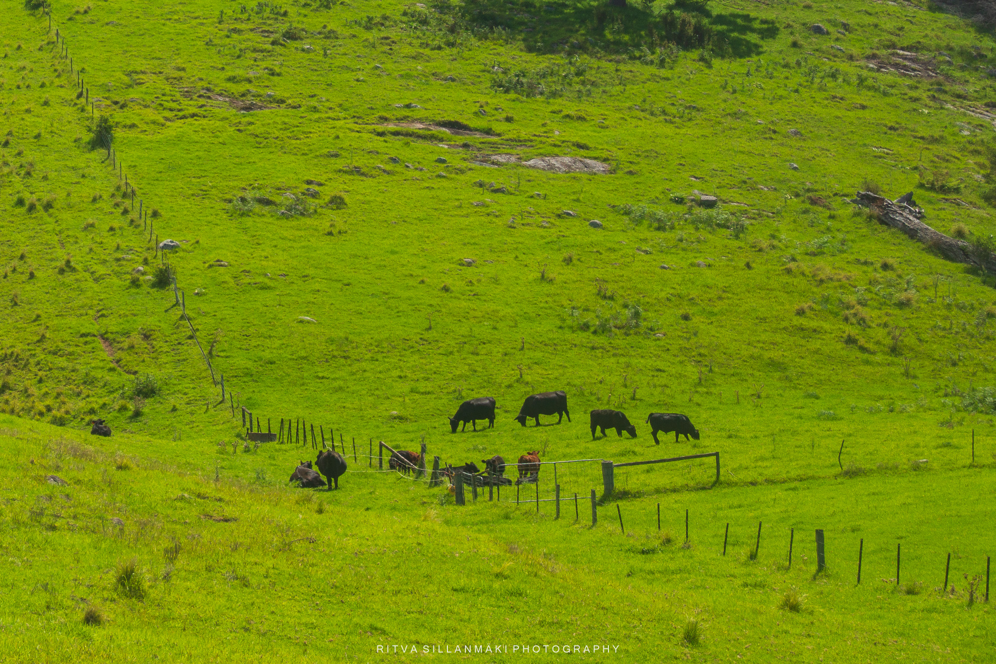
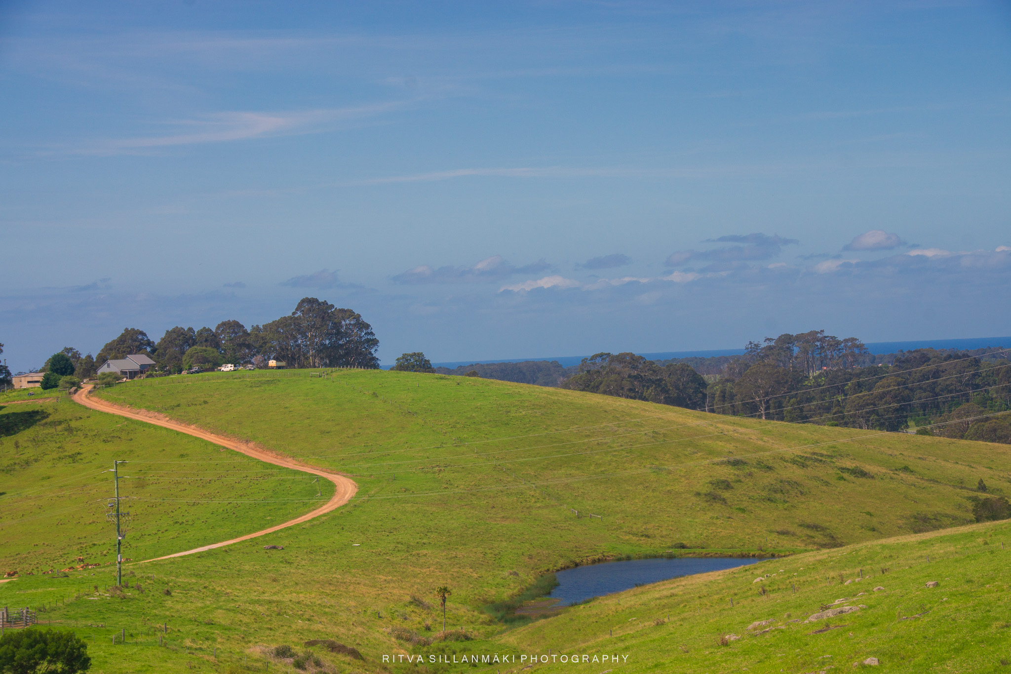
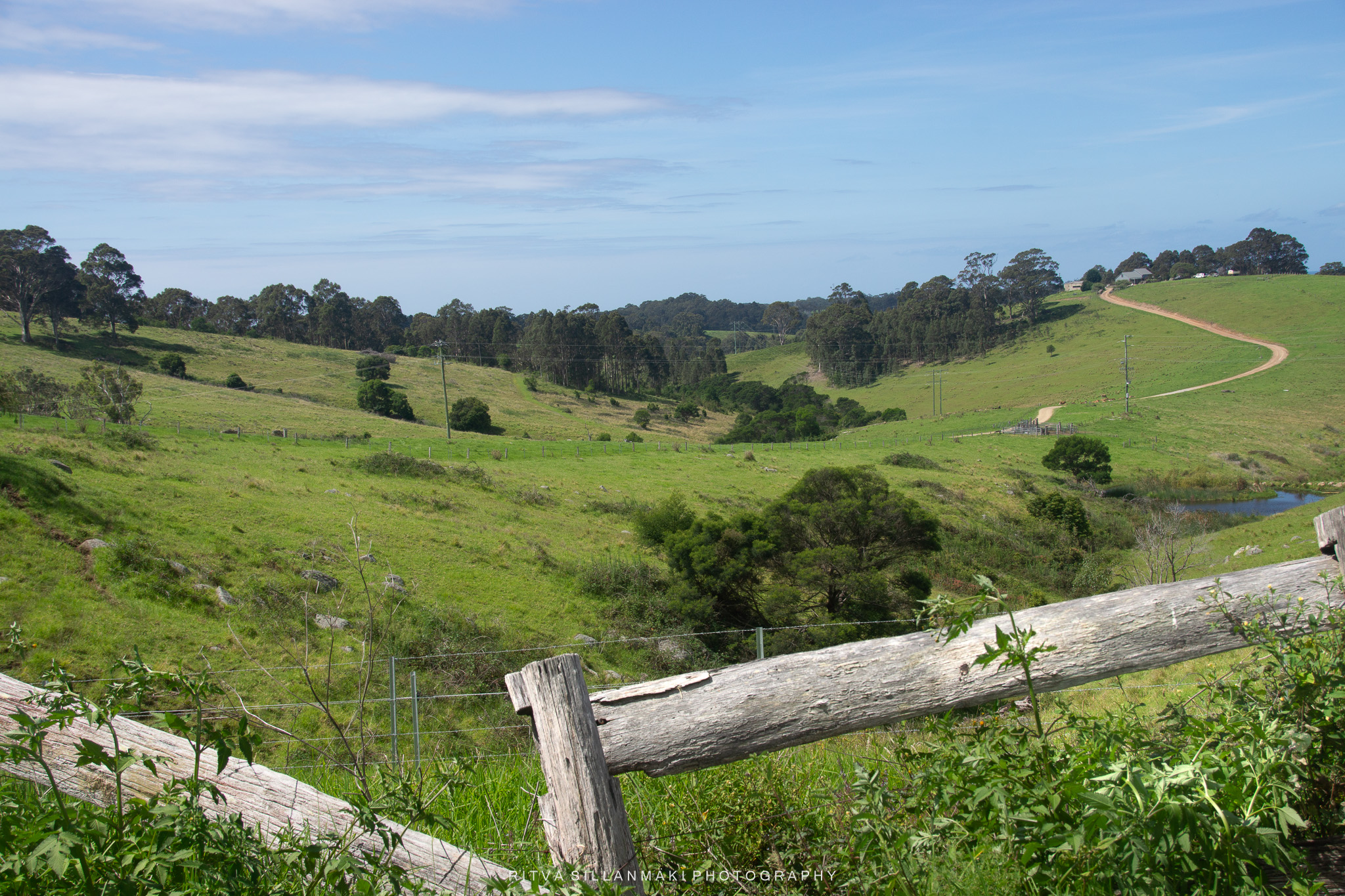
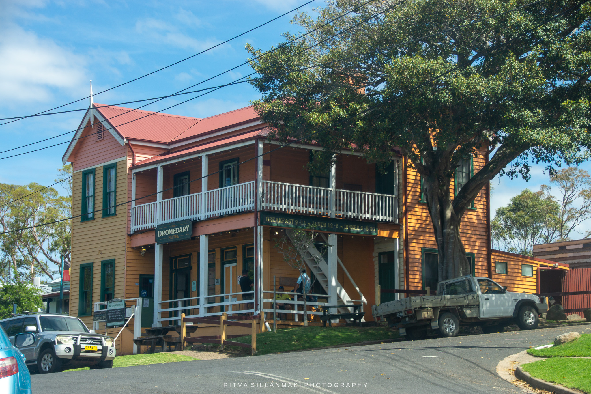
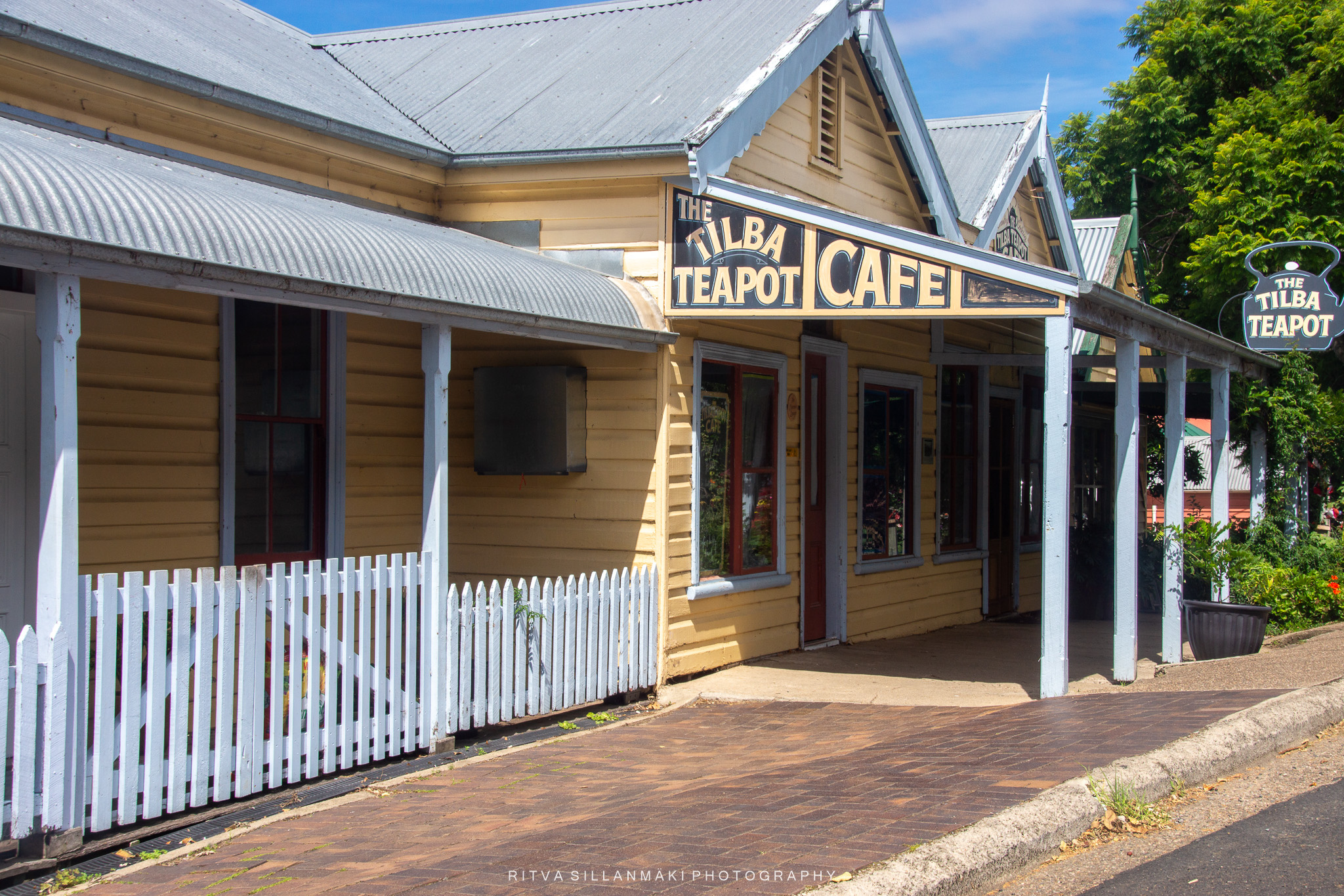
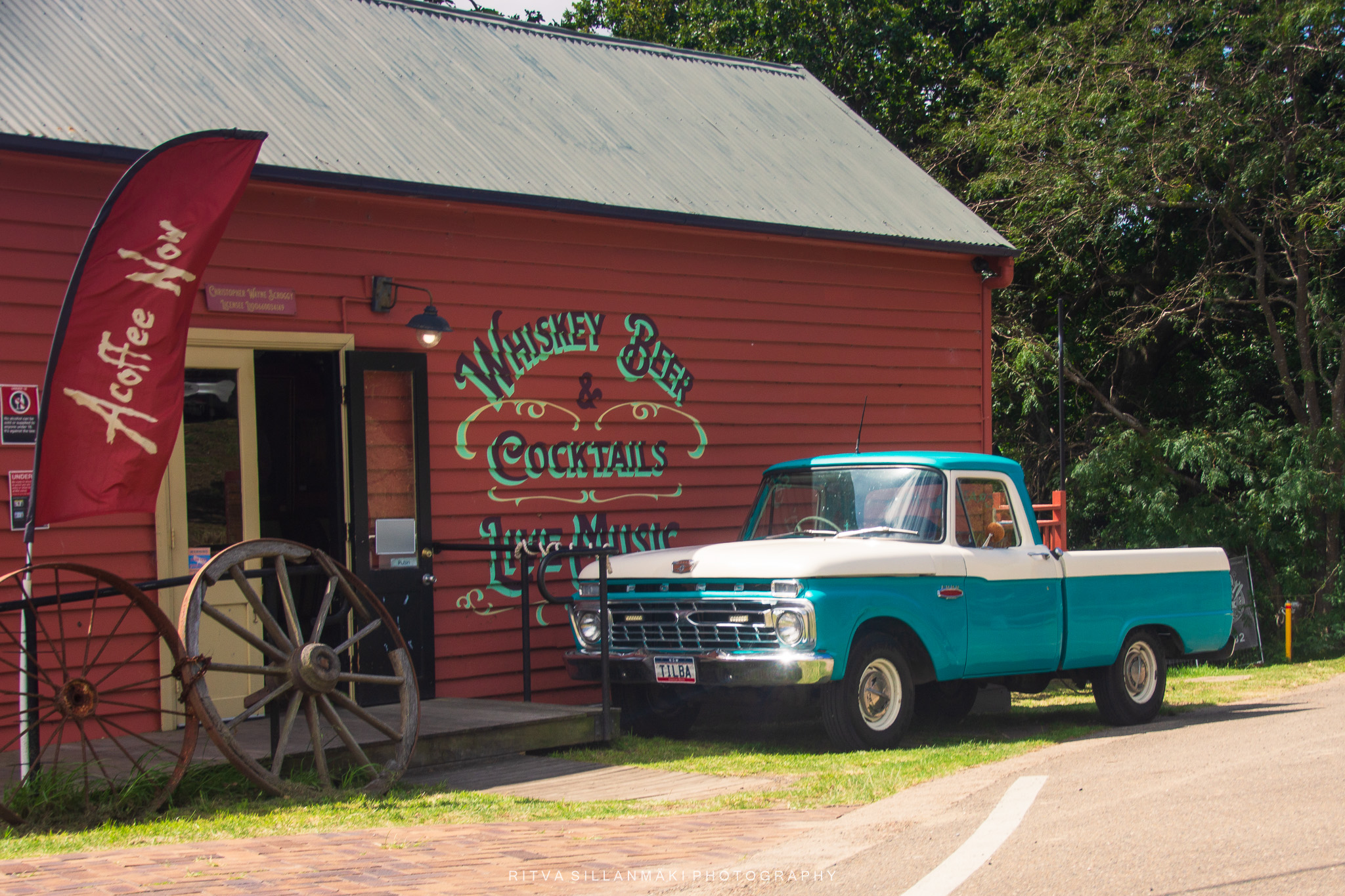
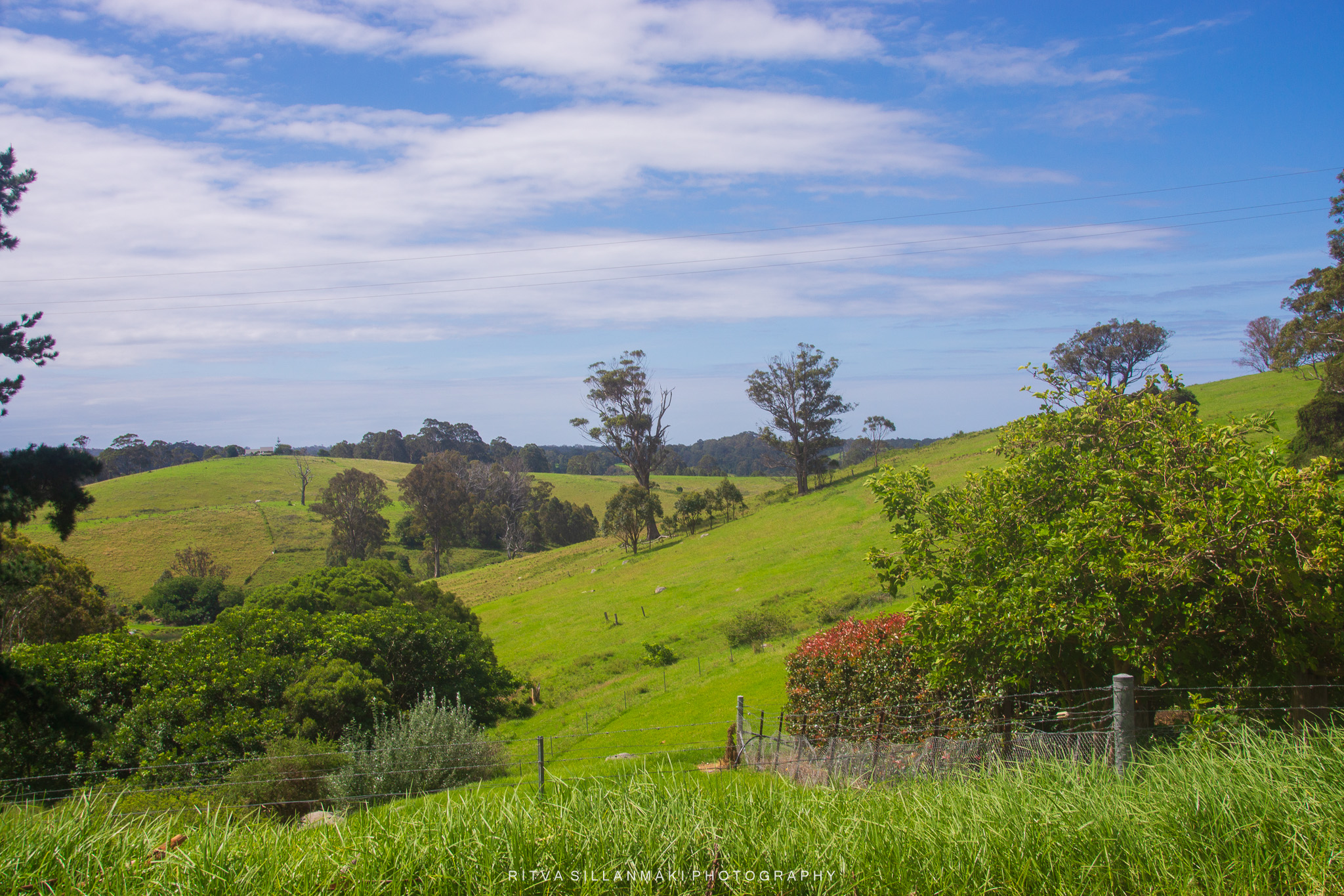
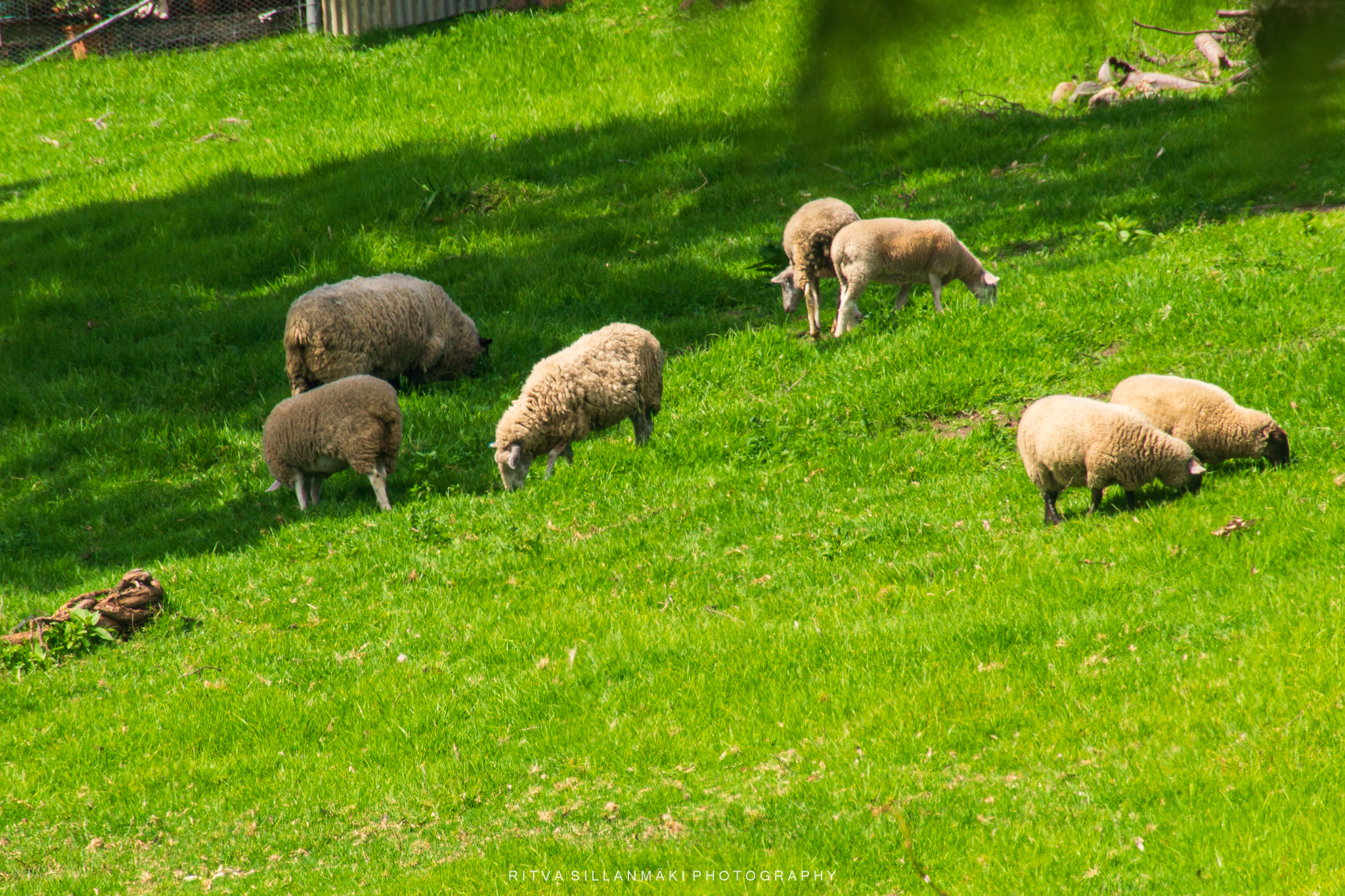
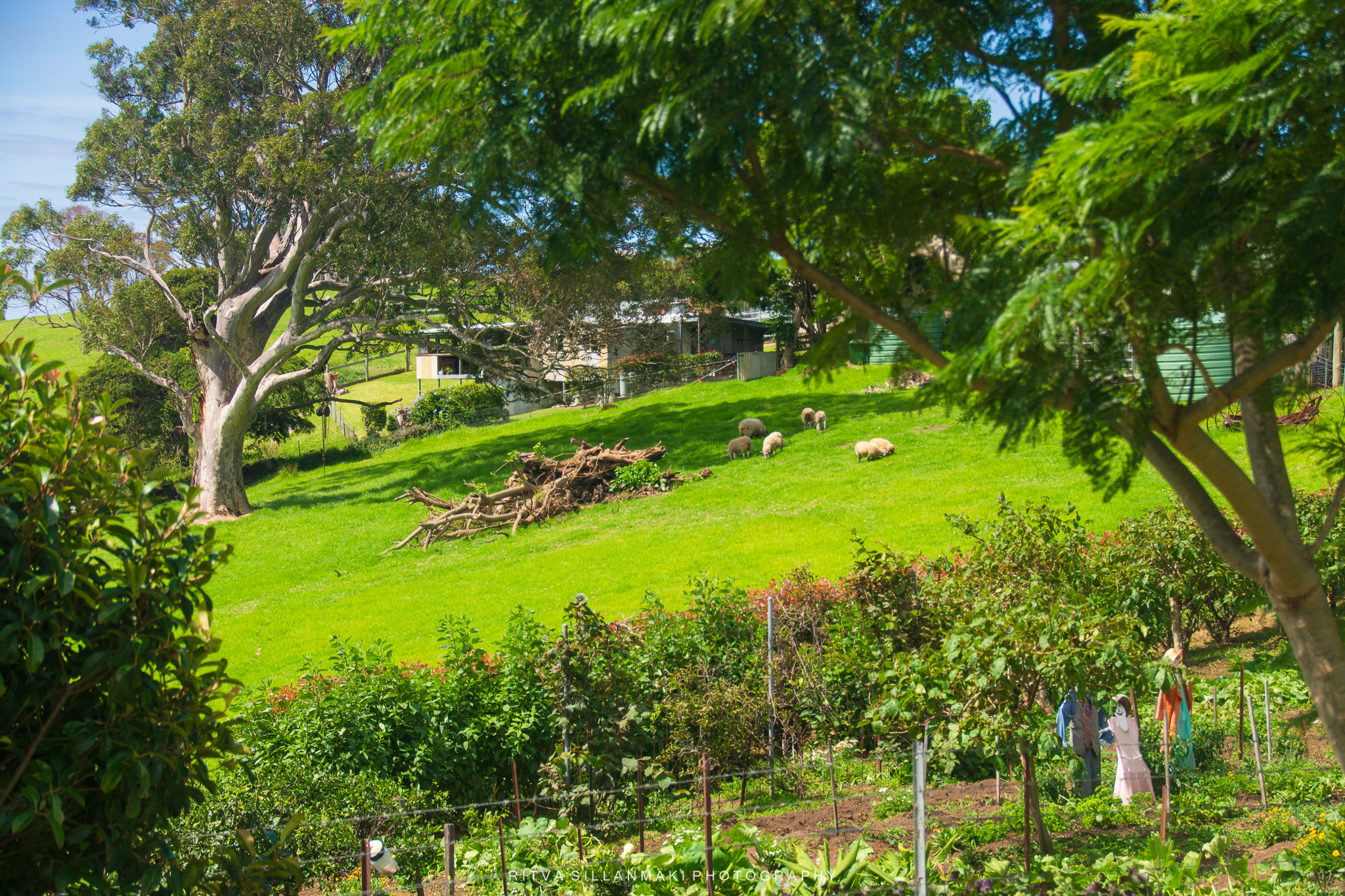
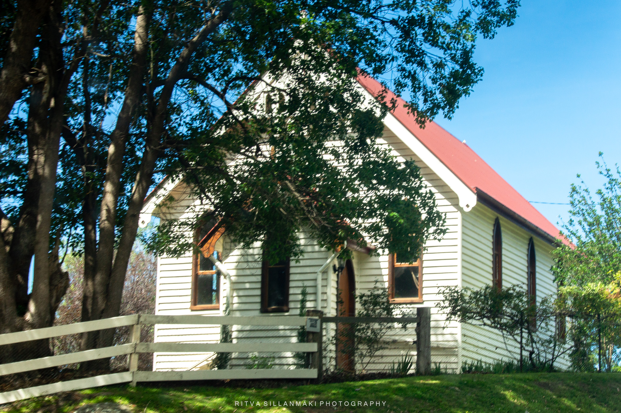
We were going to stop for a break in the charming town of Tilba Tilba, a hidden gem protected by National Heritage listing! I read that this delightful spot came alive during the gold rush back in the 1890s and 1900s, and you can still wander among its beautiful Victorian timber buildings. Nestled right at the foot of the majestic Gulaga (Mt Dromedary), it’s the perfect launchpad for exploring this spiritually rich land of the Yuin people. And to me, I loved spotting the cows and the sheep on the hills.
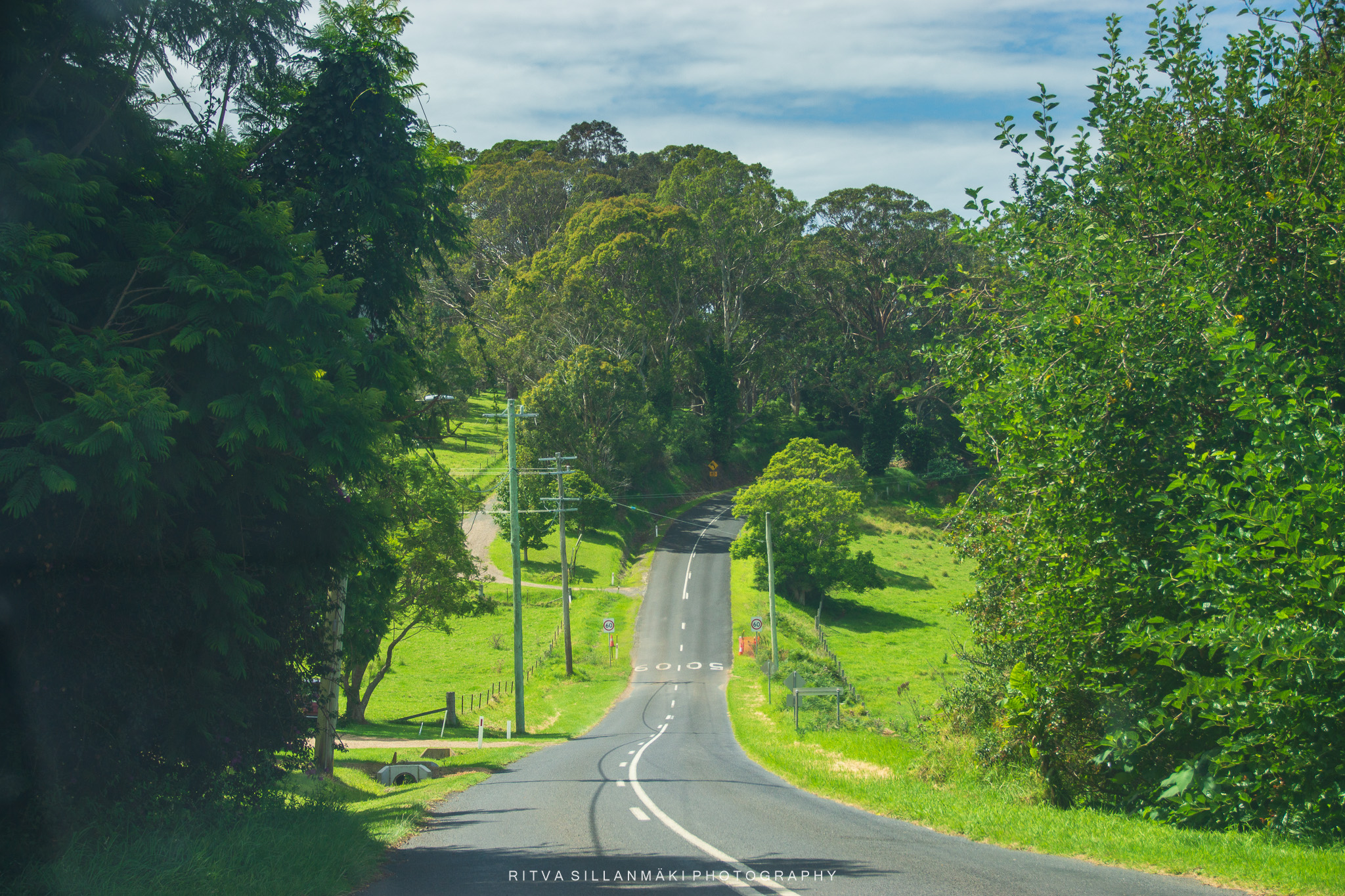
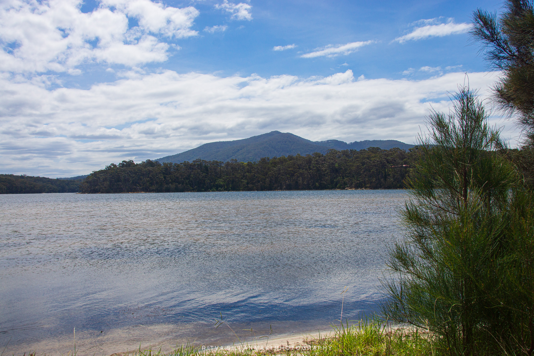
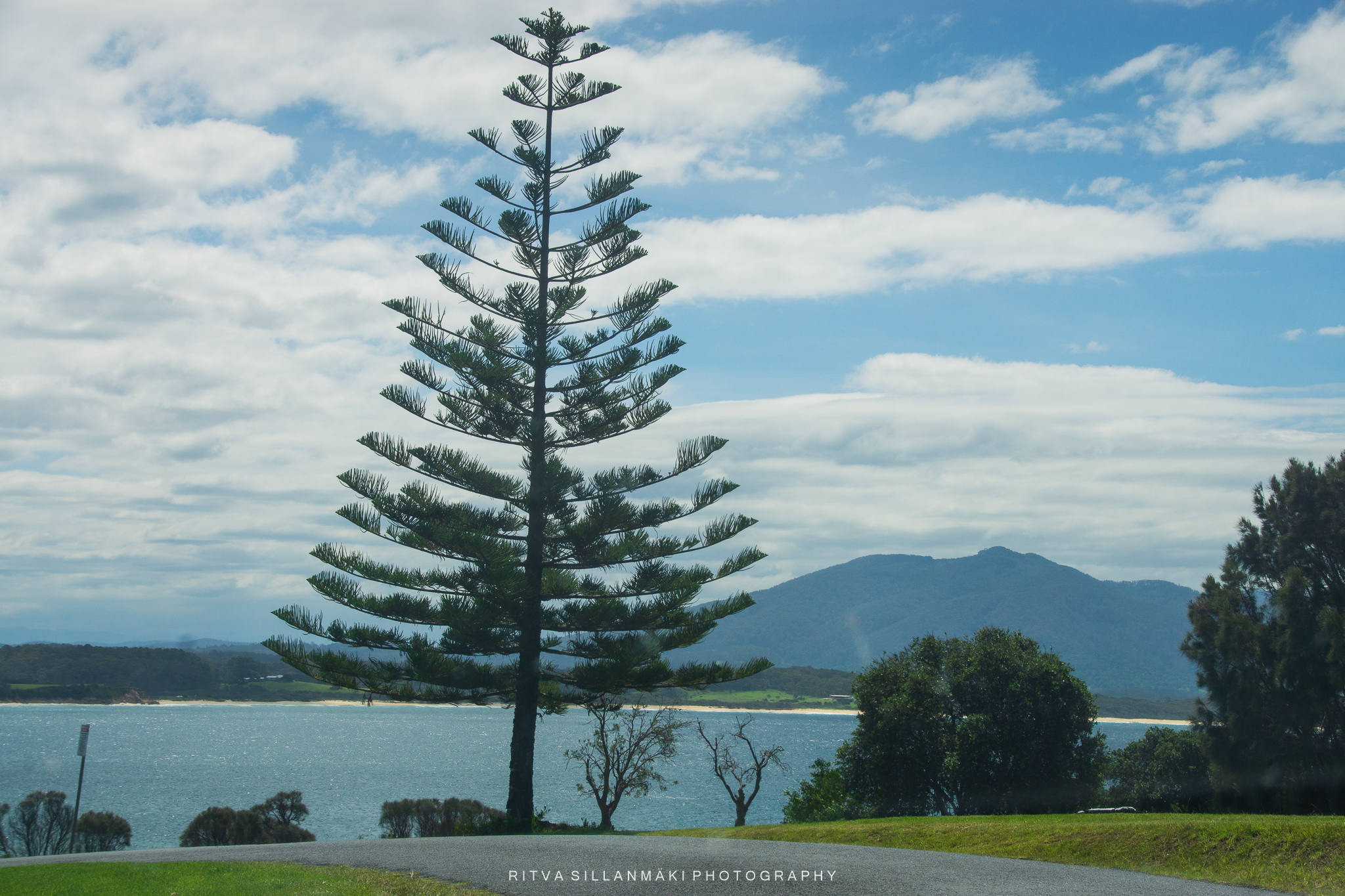
Have you ever heard of Wallaga Lake? It’s the largest lake in southern NSW, nestled beneath the stunning Gulaga Mountain. I was amazed by the peaceful atmosphere— The sunsets there? Absolutely breathtaking I heard, I wish I could have captured the magic around Beauty Point and Wallaga Lake Heights, we had time just to drive through it. Plus, I learned that this area is culturally significant for the Yuin-Monaro people, with Merriman’s Island being an Aboriginal Place where access is limited.
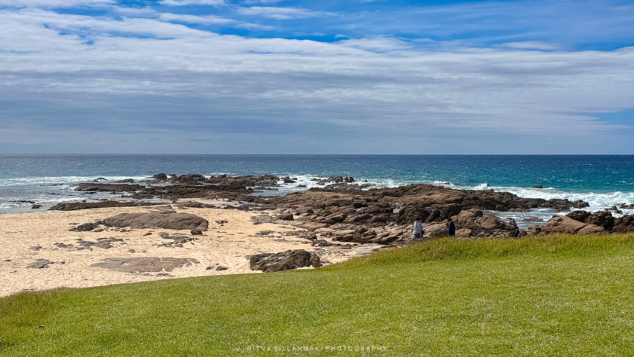
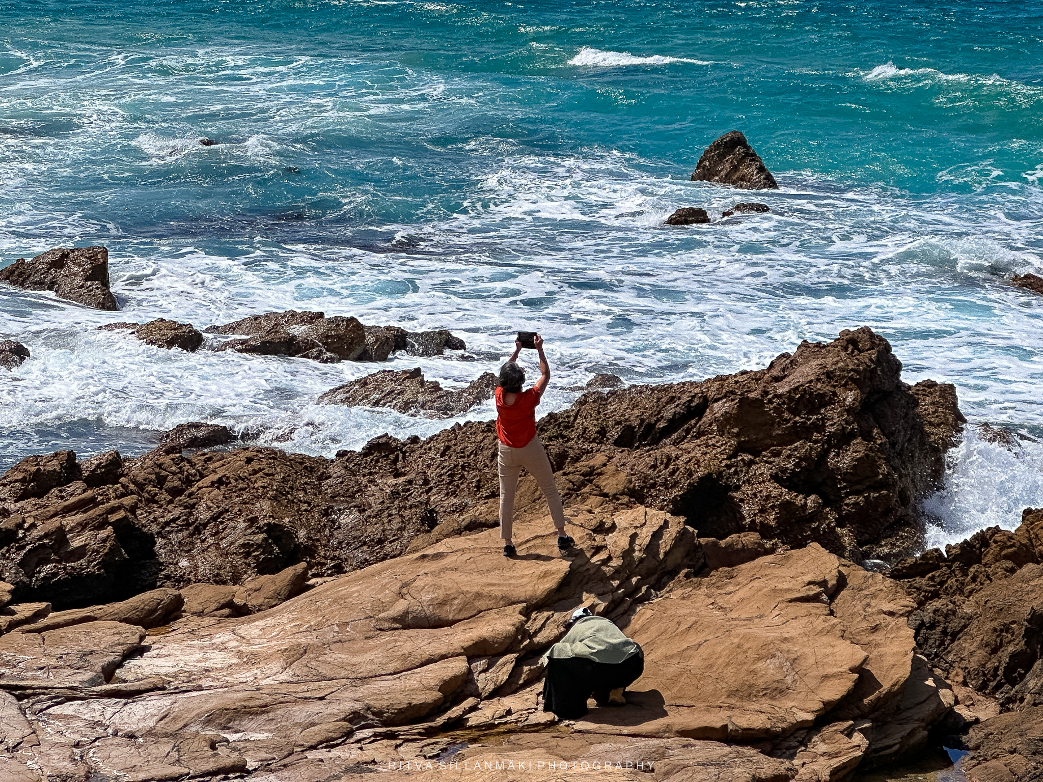
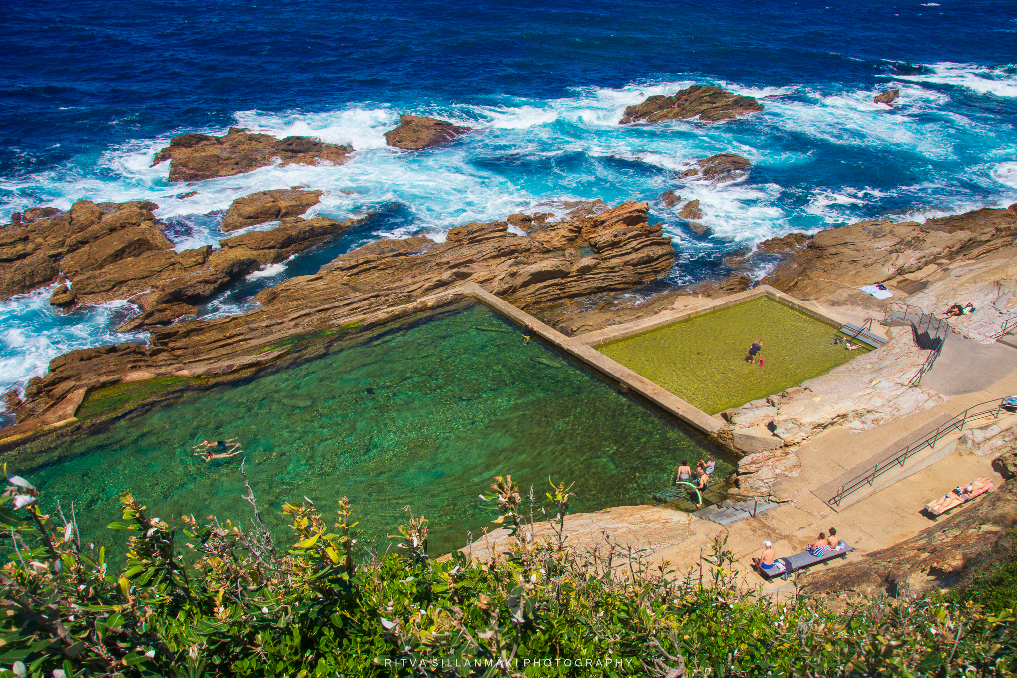
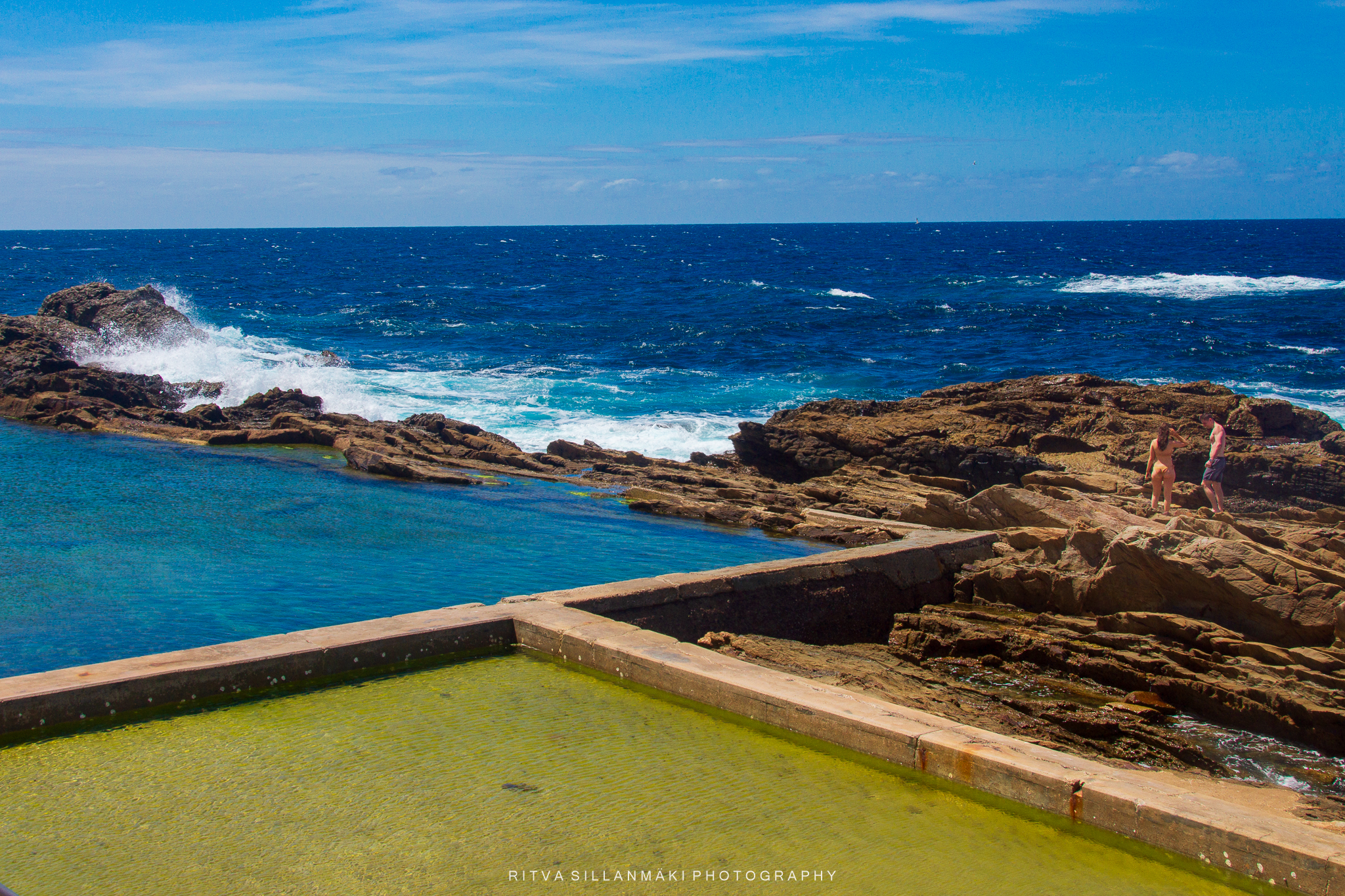
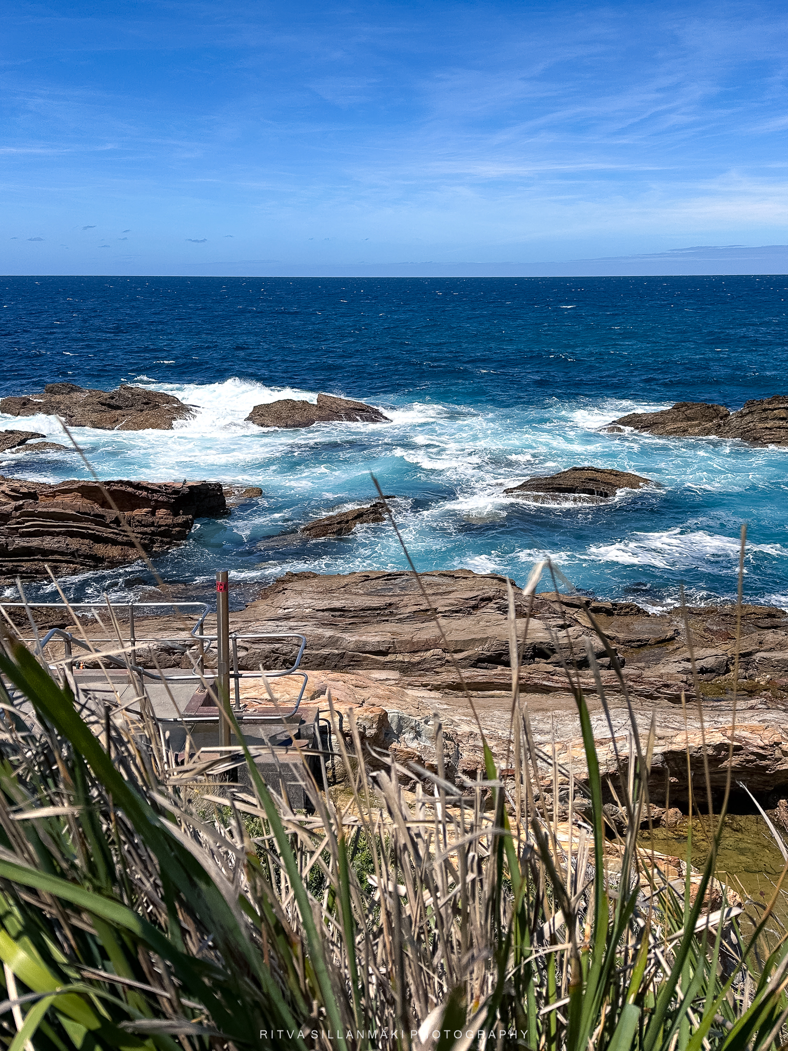
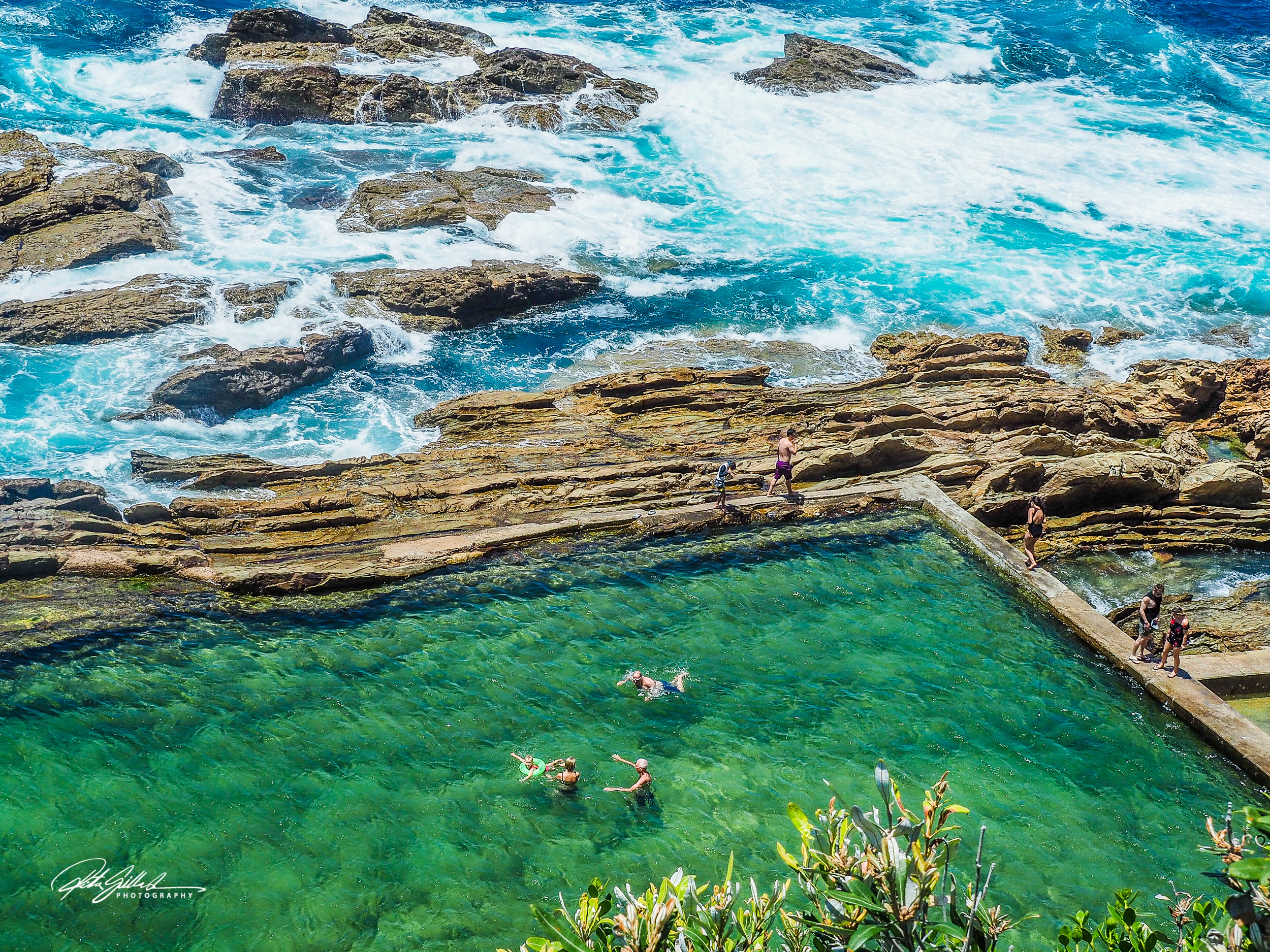
Bermagui, with its inviting Blue Pool, from our previous visit had stayed in our minds, so we decided to head there for a relaxing day. It’s truly a hidden gem along the Sapphire Coast, showcasing stunning opaline hues that blend from azure to turquoise, then blush, and finally to a cheerful canary yellow. After carefully making my way down the cliff, I arrived at the stunning 50-meter seawater swimming hole—interesting fact: it was enlarged to its present dimensions in 1937 by local philanthropist Bill Dickinson.

Amazing photos of breathtaking places. Makes me wish to see them in person.
What beautiful landscapes and photos Ritva.
Nice trip; fine series.
What a beautiful place! Thanks for letting me tag along.
A feast of pictures!